Given the mountains and valleys around here, sometimes I forget that I live only 27 miles away from the ocean (it’s 20 miles from where I work). That’s compared to about 160 miles when I lived in Chapel Hill, North Carolina.
On Thursday after work I decided to take advantage and drive out to Bodega Head, part of the Sonoma Coast State Beaches. It was a beautiful day, and I just happened to have my camera with me. I’m finally starting to adjust to the sun setting after 8pm, giving me three hours of sun to do anything I choose. What a gift.
The purple-blue stuff on the sand below are thousands of these small jellyfish that got washed shore. They look like discarded plastic suction cups, especially when they dry out, which is amusing to me, to think sometimes how “dirty” nature can be. Or entropic.
Up close they look just like this, though I’d say these were about an inch or two wide. Update: Terrie informs us that these particular jellyfish are by-wind-sailors.
My very first trip out to Bodega Bay was when I came up to Sebastopol to see about this job at O’Reilly. Terrie drove with me to get some live crab from one of the fisherman out there. She boiled them, and we devoured them back at her place. Since then I’ve been known to pick up a dungeness crab (already boiled) from Andy’s Market on the way home (usually only $4 a pound!) and eat just that for dinner.
So I couldn’t help but want to do the same, except this time I got one already cooked, which I shelled and added to some penne pasta with artichokes, tomatoes, green onions and a cream sauce.
By Sunday evening, Stephanie and I decided we’d had our fill of the city. In fact, after two days it seemed that something of an urban purification was in order.
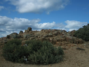
Come Monday, the sun was finally out, so I suggested hiking Mt. St Helena, the mountain whose dominant presence on the horizon reminds me every day that I have twiceattempted but not yet succeeded in making it all the way to the top. That’s because the trail/fire road one takes to get there is over 5 miles long with a 2000’+ elevation change, peaking at 4,344′ above sea level.
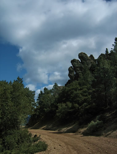
We started early, around 1:20pm and brought sandwiches to eat part way up. The first chunk is pretty cool, a dirt path through the trees with like 8 long switchbacks, and then a hard scramble over some rocks before emerging out on the fire road for the next 4ish miles.
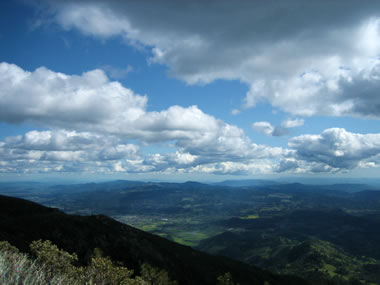
Of course Monday was like our first somewhat sustained sunny day in weeks, so the higher we got, the colder it got, especially when the sun hid behind the slow moving clouds. We brought layers, but hadn’t really planned mentally for it to be so chilly. As long as we keep moving it felt like a cool spring day.
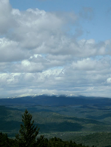
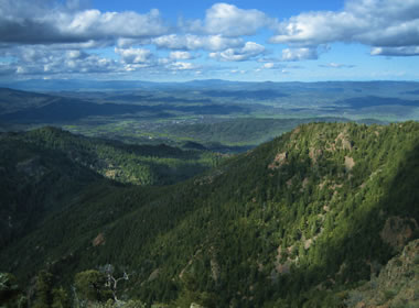
Apparently it was quite a bit colder on top of some mountains in the distance, looking north-northeast.
The last 1.7 miles from the south peak to the north peak were the hardest. It felt like we’d already been hiking forever, and here we were at the base of the south peak. How could there possibly be that much farther to go? Stephanie seemed unfazed (she told me later that actually she was fazed—but urged herself on) so we trudged ahead.
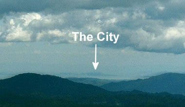
It wasn’t until we felt like we were almost at cloud level that I realized we could see all the way to the city, over 60 miles away!
Here’s a closeup.
Thankfully the top wasn’t too much farther ahead. Three hours after beginning our hike we made it! Finally.
Copious amounts of trail mix were consumed as we took in the view, in awe of our accomplishment.
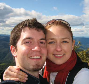
And there was time for one quick photo at the top before beginning the two hour journey back down the way we came.
On Sunday evidentally the Christians conspired against our Union Square shopping spree, so instead we spent a leisurely brunch at Cafe De La Presse, the one place in the city Stephanie says you can get an honest to goodness croque-monsieur. Except on this occasion she ordered a croque-madame (grilled cheese with ham and an egg, sunny-side up on top)—that I thought was quite good.
The other night I had flipped through a travel guide in the hotel and stumbled upon a description of the Cable Car Museum which I didn’t even know existed. So we ambled through Chinatown over to Mason and Washington on the off chance that it might be open on Easter. Turns out it was. The cable cars were running, and the giant sheaves that pull the cables through the streets were spinning like a frenzy.
I kept wondering how it was that I’d never visited here before. It was so cool.
After we’d had our fill of the machine shop smell and the cables whizzing by at a continuous 9.5mph, we walked back towards the hotel to pick up the car and begin our journey home.
Except inspiration struck on the 101 just before the bridge—I wanted to take what I thought was the last exit, just cause. Unfortunately this put us heading south on CA-1. Oops. I was thinking more like taking a quick jaunt out to Fort Point. We got our bearings and made it over to the bridge just as the weather was turning (for the worst). But a cold wind, rain, and waves crashing over the road didn’t stop us from getting out to take a few pictures and watch some surfers.
Today Katie and I took a trip around West County, first to the excellent Renga Arts in Occidental (cause she’d remembered it from an earlier post) and then out to Jenner, where the Russian River meets the Pacific.
Sunday was also beautiful, so after a jaunt around downtown Santa Rosa and some purchases at the Barnes and Noble, we headed off to Point Reyes. We stopped at the Marin French Cheese Company on the way for a quick snack and some beautiful views of the countryside.