I mean with a name like that… you’d think it was a joke. But it’s actually the Old Faithful of Lassen Volcanic National Park, which Stephanie and I visited with Joy and Kyle over Labor Day weekend. We started the drive up Friday night, did a little Motel 6 camping in Red Bluff, and then continued on our way Saturday morning.
Bumpass Hell is about a mile and a half off the main road, and well worth it. There’s a steam vent that sounds like a jet engine, boiling pools of gray-purple mud, and the stench of sulfur that fell somewhere on a continuum between rotten eggs and chicken soup.
View of Brokeoff Mountain on the wayThe famed Bumpass HellCloserBoiling purple mudCold Boiling Lake Puddle (Note: If it sounds like it might violate a law of physics, it’s probably too good to be true. Nice hike, but not worth the additional 4 miles round trip for a bubbling puddle.)
I’ve been looking forward to Capay Organic‘s summer farm tour (and heirloom cherry tomato picking) since I went to their spring farm tour and strawberry picking back in May. This time Stephanie was able to come, and we had a ball: walking around in the hot sun, eating warm figs right off the tree, and picking some of the sweetest cherry tomatoes I’ve ever tasted. These things are candy. And we picked a lot!
Cherry tomatoes on the vineJustin picking red onesStephanie picking yellow onesCherry tomatoes (and dirty fingers) up closeThe result of our hard workStephanie fancies herself a farmer
Somewhere around Avalanche Lake in Desolation Wilderness, MC Soleil and I stopped to record a stream running over some rocks. Unlike the pure white noise of Glacial melt, this sound has a pleasant depth to it. Like a constantly flushing toilet or an impossibly full bladder. Do not press play if you don’t have easy access to a restroom.
Ah, a relaxing Sunday. Body’s a little sore, as Stephanie and I spent Saturday hiking into Desolation Wilderness, southwest of Lake Tahoe. We’d earmarked Saturday to help out her dad and Sabine with a garage sale, but turns out they didn’t need us, so we got home from work on Friday without anything at all planned for the weekend.
Stephanie was thinking Yosemite, the same idea occurred to me too, but fearing it’d be crowded and/or hot and/or hard to find a place to stay on a moment’s notice, we started thinking about some out-of-the-way places like King’s Canyon or Sequoia. Lake Tahoe also came to mind, but without the centralized resources of the National Park Service, we didn’t really know where to go or what to do (first). Searching around for Lake Tahoe hikes eventually that led us to Desolation Wilderness, something I’d briefly read about before.
With a loose destination in mind, we got ourselves a hotel room for the Friday night, rented a Zipcar for 7:30pm (it was just about 7) and started pulling together our hiking gear. Not more than an hour after we’d gotten home from work, we were out the door and on our way towards South Lake Tahoe.
We spent the night in Pollock Pines, got a map and free day use permit from the Forest Service Ranger Station (though it turns out we could have self-registered at the trailhead), and continued east on US-50 towards the Pyramid Creek Trailhead. From what I’d read, the best first thing to see was Horsetail Falls, which seemed to offer some opportunities for doing a little hiking off the beaten path.
The trail on the map was marked as 1.4 miles long, the first half of which was maintained, the second half (to the base of the falls) was apparently unmaintained, with a total elevation gain of about 760 feet. After that there were no “official” marked trails, either on the map or on the land, other than the Falls itself and Pyramid Creek above the falls connecting a series of lakes. After a brief lunch overlooking a series of emerald pools at the base of the falls, we continued up along the falls, following a loose set of rock cairns and the occasional “unofficial” painted arrows.
After a long hard hike, somewhere between bouldering and hiking, we made it to Avalanche Lake at the top of the falls. We continued further to Pitt Lake, but with no clear route in sight, and a few dead ends, we decided it’d be best to head back rather than go any further. Which meant we had to figure out how to get back down the rocky mountainside we’d just ascended. Suffice it to say, we were sore, and it was hard. Once we made it to the pools where we’d stopped for lunch, we took a lovely break to stick our bare feet in the icy water. We eventually made it back to the car, thoroughly exhausted, and began the drive back to San Francisco.
At the start of the hike, with Horsetail Falls way in the distanceThere’s no turning back now!Horsetail Falls up closeA taste of the “trail” alongside Horsetail FallsView from the top of the falls
Update: over on White Noise Lounge, I just posted a recording of a Gurgling mountain stream from Desolation Wilderness.
On Saturday, Stephanie, Patrick, and I drove out to Mt. Rainer National Park for a little day hike. We were hoping the weather would cooperate, but as it happens, we never saw Mt. Rainier, even though we were standing right on it. With the summit at an astounding elevation of 14,410 feet, it spent the whole day in the clouds.
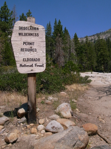
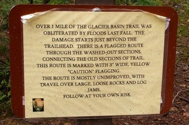
That didn’t stop us from getting our hike on. We parked at the White River trailhead/campground, and started out on the Glacier Basin trail. Immediately we came upon this foreboding sign:
The operative word is OBLITERATED
It read:
Over 1 mile of the Glacier Basin trail was obliterated by floods last fall. The damage starts just beyond the trailhead. There is a flagged route through the washed-out sections, connecting the old sections of trail. This route is marked with 3″ wide, yellow “caution” flagging.
The route is mostly unimproved with travel over large, loose rocks and log jams.
Follow at your own risk.
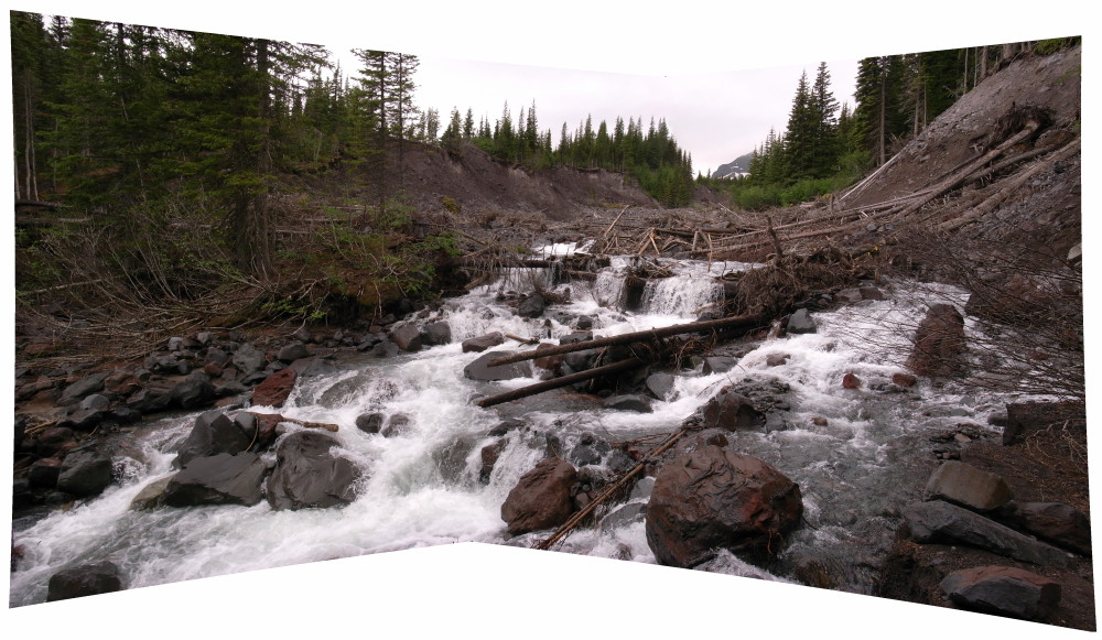
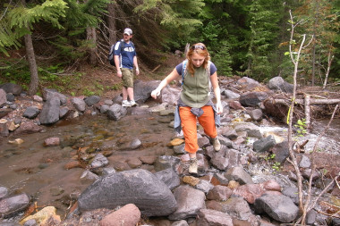
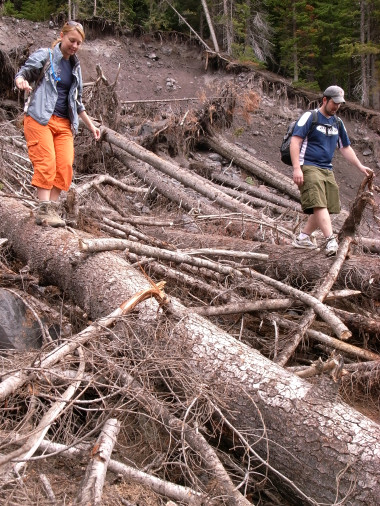
Well it didn’t say “don’t go” so we took a moment to record the sound of White River and then continued on our merry way. Sure enough, the trail deteriorated into absolute mayhem. We were climbing over fallen trees, jumping over newly deposited fields of boulders, and crossing improvised stream after stream. It wasn’t that the trail was impassable, it’s that it no longer existed. When they wrote “obliterated,” they were being literal.
I have to say it was certainly one of the more exhilarating hikes I’ve ever been on. Not so much for the difficulty in traversing it, or the natural beauty of the surroundings (elements that normally make for a good hike) but more for having had the chance to experience the raw destructive power of nature. The landscape had clearly been changed very recently, which made me feel as though I was exploring something new and undiscovered. I preferred the trail in its “unimproved” state. (I highly recommend that anyone interested take a visit soon, before any improvements are made.)
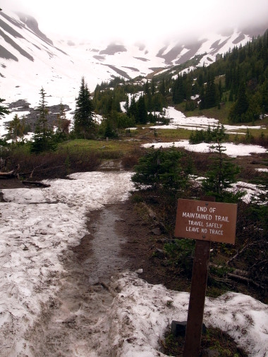
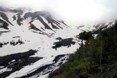
We hiked the entire length of the trail, 3.1 miles with 1700 feet of elevation change. The last mile or so we were walking through snow—in July! Then with wet socks and sore legs we turned around and began our slow decent down the mountain.
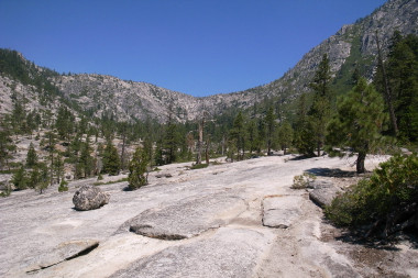
This is where the trail used to be
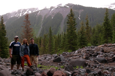
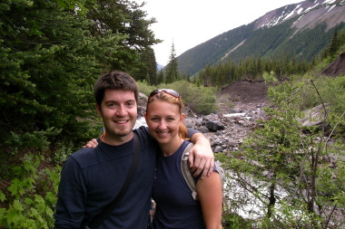
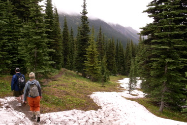
Stream-crossingLog-walkingPatrick, Stephanie, JustinJustin and StephanieShorts in the snowWe reached the end!Rainier is somewhere up in the cloudsHiking down the mountainA little artsy long exposure stream