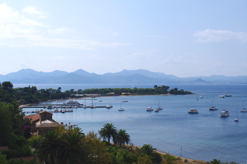
Just off the coast of Cannes are two rather large islands, Île Sainte-Marguerite and Île Saint-Honorat, commonly referred to as Îles de Lérins. The former has a fort that once served as the prison where the Man in the Iron Mask was held, the latter holds an active monastery.
On Monday, Christiane, Stephanie, and I took a ferry to Île Sainte-Marguerite. We had a nice long lunch on the island with a beautiful view of the coast, and afterwards we toured the grounds of the fort.
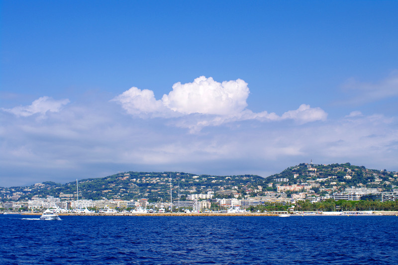
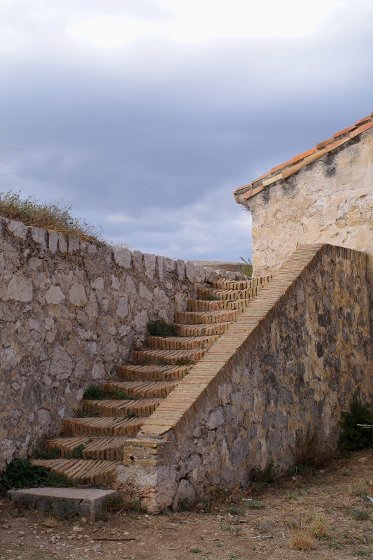
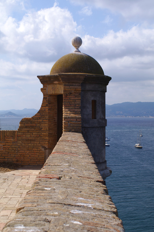
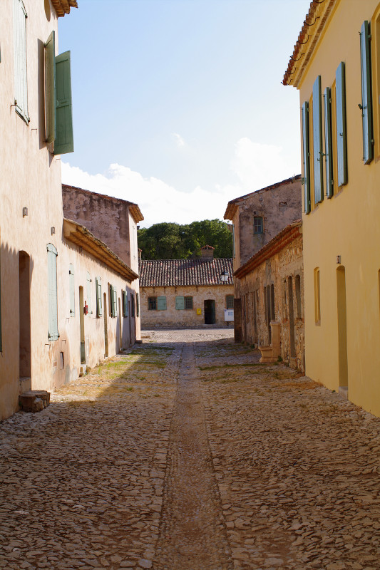
Clouds building over CannesView from the fort towards the EsterelWorn stepsAn artful corner overlookBuildings inside the fortBetween buildings
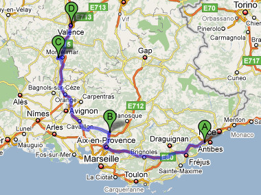
We spent Thursday night in Valence, and then on Friday morning we packed our bags and hit the road for Sabine’s parent’s country house in Ruoms, deep in the Ardèche. The Ardèche is a department of France west of the Rhone and northwest of Provence. It was described to me as being sauvage (very wild) and profound “really deep and isolated”.
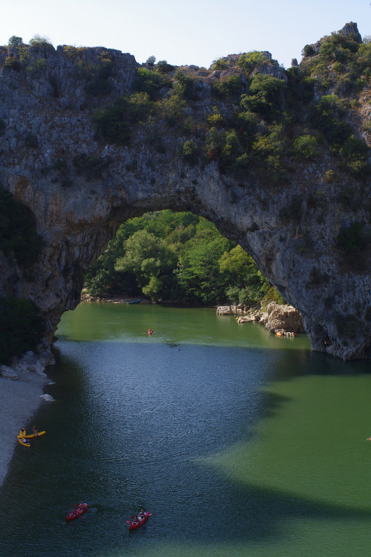
Along the way we had a nice picnic lunch in Vogüé, did a quick driveby of Balazuc, one of the “Plus Beaux Villages de France” (most beautiful villages of France), stopped to look at the Pont d’Arc, a natural bridge carved by the Ardèche River, and visited the Domaine de Vigier winery, which happens to be owned and operated by Sabine’s uncle and many cousins.
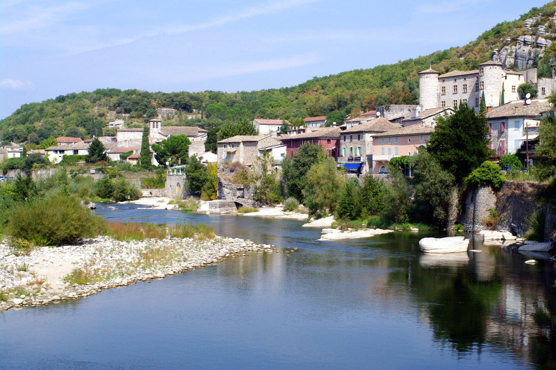
Our route, for the curiousVogüé, complete with castleWe crossed paths with the women’s Tour de FranceThe Pont d’Arc over the Ardèche RiverSome ancient eau-de-vie we found at the house
On Wednesday, we woke up in Le Cannet, had lunch in Pertuis, nougat in Montelimar, dinner in Le Teil, and went to bed in Valence. I may return from France 10 pounds heavier.
Map from Le Cannet to Pertuis to Le Teil to Valence
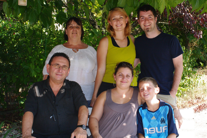
Lunch was with Stephanie’s Aunt Chantal, in the house where her grandmother used to live, before she passed away last year. Jean-Claude fired up the barbecue and cooked up some french-style pork ribs which we had with haricots verts (green beans), pastis, wine, cheese, and bread. Later Stephanie’s cousin Severine and son Theo joined us, who we’d visited during our first trip to Pertuis (together) two and a half years ago.
Nougat was at the Arnaud Soubeyran Factory and Museum. We learned how nougat is made, predominantly honey, egg whites, almonds, and we tasted several different varieties.
Dinner was with Sabine’s family: mom, dad, brother, brother’s girlfriend, brother’s girlfriend’s daughter, and of course Sabine. We had a salad with magret de canard and tomatoes, steak with potato gratin, a tasting of Stephanie’s Camembert, and an apple cake with whipped cream. Oh mon dieu. As they say in French, my back teeth were swimming.
We arrived in Valence at Jean-Claude and Sabine’s apartment quite late, and tout la monde collapsed.
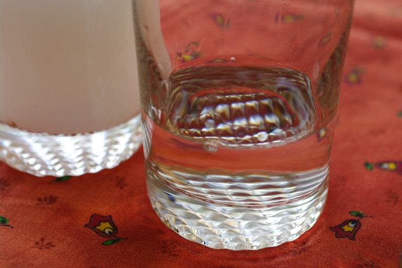
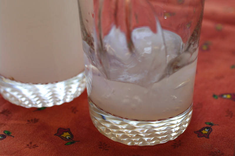
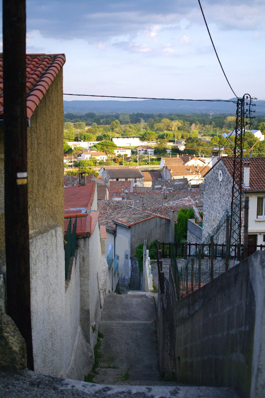
Pastis before water is addedPastis after water is addedPertuis famille: Chantal, Stephanie, Justin, Jean-Claude, Severine, and TheoLooking out over Le Teil
Work-wise, Friday turned out to be especially busy. We were working from home, as was most of the office, some extending the 3-day weekend, others anticipating the commute chaos of the Bay Bridge closure, all of which made things a little more challenging than normal. C’est la vie.
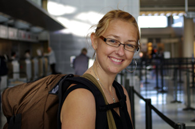
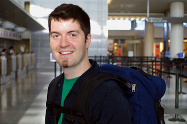
I think I officially shut down the computer at 3:40, finished packing my bags, Stephanie had already tidied up the apartment, all so we could start our trek to the airport around 4. We eventually made it out the door, had a little trouble finding a cab, took BART down to SFO, made it through security and to our gate just as they were about to begin boarding. They called for our rows and were we off.
It was roughly 10 hours to London, and I think I got maybe 2 hours of sleep that “night”, maybe slightly more. Had a light lunch at Heathrow as it was then around 1 in the afternoon. Our flight to Nice left shortly after, and I slept the whole way there. I think it was around 6pm (Saturday) when we arrived. Stephanie’s mom picked us up and brought us to her apartment, where we’ll be staying before and after we visit Stephanie’s dad in Valence.
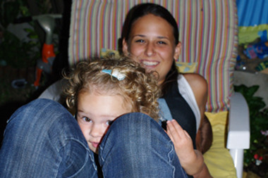
Stephanie’s sister Aurelie and her two-year old daughter Luna came over to have dinner with us. The last time I’d seen Luna was during her first birthday. The excitement of seeing everyone after so long was probably what kept us awake on so little sleep.
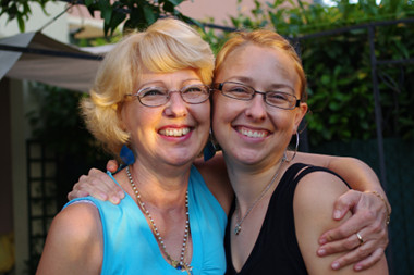
Stephanie at SFOJustin at SFOFrench Bordeaux on the planeStephanie et sa mamanLuna hiding behind her mom
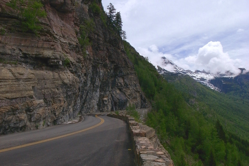
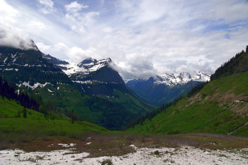
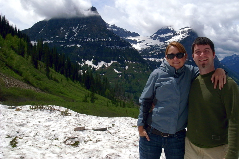
After two nights in St. Mary, Montana, we packed up on Saturday, June 20th, to begin the long drive towards Spokane, Washington. But first we planned to head south around the park and re-enter it from the west, in order to drive the Going-to-the-Sun Road from the other side. Only 12 miles were accessible from the east, which we drove the night we arrived, whereas 29 miles were open from the west.
Two parts of the road in a switchback were destroyed by an avalanche over the winter, rendering the already narrow road a frighteningly narrow single lane wide. I can’t say that I’ve ever witnessed the destructive after-effects of an avalanche before. It basically looked like the mountainside had been combined in a blender, tree trunks, boulders, soil, snow and all.
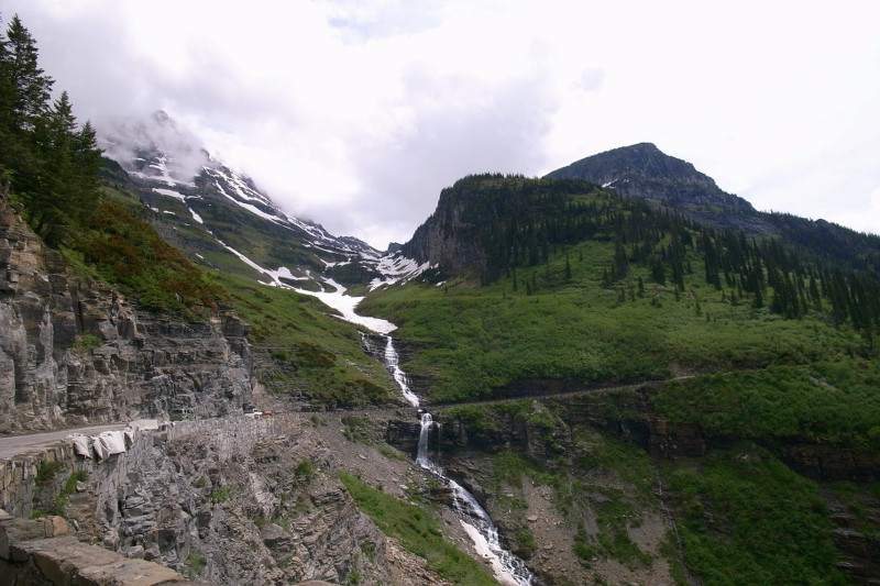
It took us an hour to make it up to the point where the road was closed, just passed a section known as the Weeping Wall. We parked for a bit, had a snack, saw a family of bighorn sheep, and watched children horseplay precariously on the mountainside snowpack. And then we really began our drive home.
We opted to take US-2 west rather than I-90, and so meandered through Kalispell, MT, Bonners Ferry, ID, and Newport, WA on the way to Spokane. We were so exhausted after driving all day long, we had Indian food delivered to our hotel room, and collapsed.
And that was it. We woke up late the next morning. We went to Huckleberry’s, a local organic grocery store, for a well-deserved brunch. And then we headed over to the airport to catch our flight home to San Francisco.
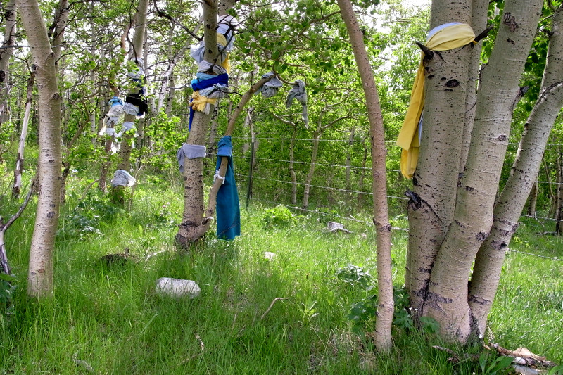
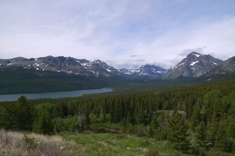
Our route from Glacier to SpokaneWe saw many Blackfeet prayer flags tied around the aspen trees along the road outside the parkView of Two Medicine Lake (I think) as we drove around the parkMcDonald Creek rushing alongside Going-to-the-Sun RoadA view of the valley as we climb Going-to-the-Sun RoadA nice view of Going-to-the-Sun Road cut into the mountainsideA picturesque waterfall, falling across the roadThe view from as far as we could go, just past the Weeping WallAnd that’s all folks! This is the end of the road. Time to go home