Preparing for the Alps on Mt Tam
In 3 weeks, Stephanie and I will be hiking about 125 miles of the GR5 through the French Alps over 9 days. It will be the longest (in both days and miles) that the two of us have hiked together, and it’s a day longer than I hiked with my Dad on the PCT. We’ll be staying at gîtes and mountain refuges along the way, with meals (demi-pensions) included—which means we won’t have to carry food, tents, or sleeping bags. Even so, it occurred to me that I should probably prepare for this endeavor, at least a little. That partly explains my hike last weekend, and partly explains my hike this weekend, and partly explains my hope to go hiking next weekend.
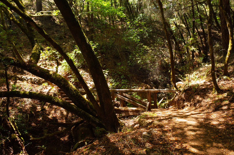
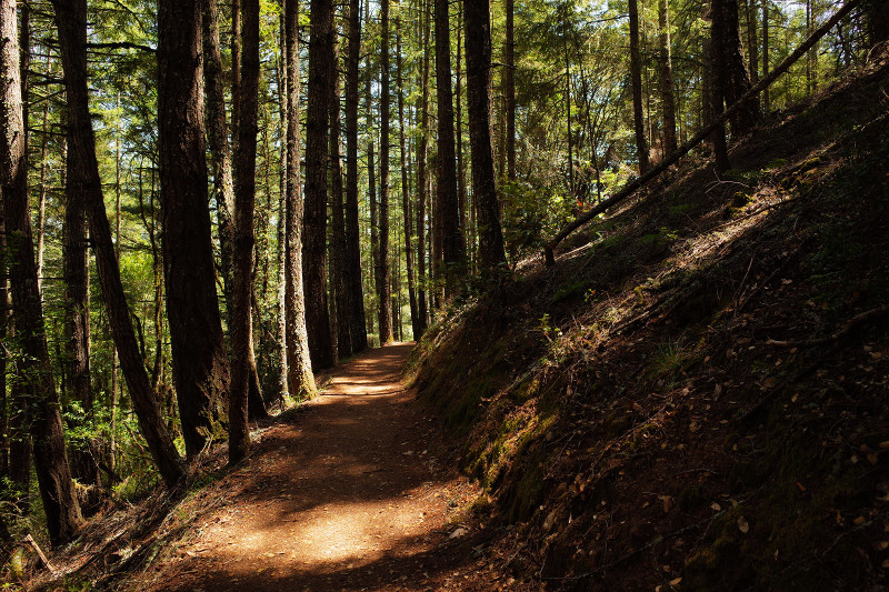
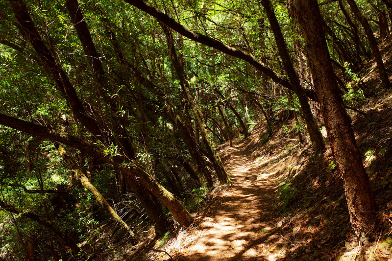
Also, Stephanie had to be in Corte Madera on Saturday to teach a cheesemaking class, so I tagged along. While she was cutting curds, I was making tracks through Mt Tamalpais State Park, covering nearly 10 miles in just under 4 hours.


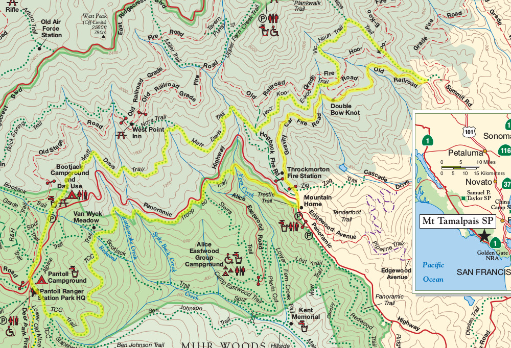
My route: I started at the parking lot across from Mountain Home and headed down Alice Eastwood Road, to the Troop 80 Trail. From there I looped around on the TCC Trail, and then took the Stapelveldt Trail up to Matt Davis. That took me all the way to Hoo-Koo-E-Koo. I still had some time left, so I tacked on Vic Haun (straight up) to Temelpa (straight down) before finally taking the Old Railroad Grade and Gravity Car Fire Roads all the way back to the parking lot.
