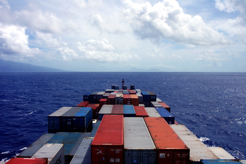
Passing Tahiti
We are currently at 17° 38.277′ S 149° 42.769′ W, passing between the islands of Moorea and Tahiti. Last night we gained an hour, making the ship’s time UTC -10.
We last saw land on September 19th as we departed from Balboa after transiting the Panama Canal. It’s been eight full days of nothing but ocean, so we were excited to be within 3 nautical miles of Tahiti—even though we weren’t stopping. The outlines of the islands started to appear a little before two in the afternoon, so we went out to the port side of the ship and watched as Tahiti and the city of Papeete came into view.

Panorama of Tahiti
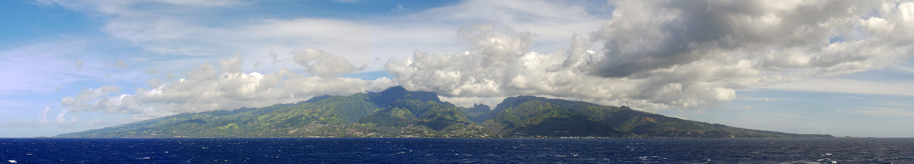
Panorama of Tahiti, with Papeete visible
Tahiti panorama looks amazing. Making a mental bookmark to get there at some point in my future.
Annie and I went to Moorea as boyfriend/girlfriend and came back engaged. The island is wonderful. I hope you make it back there someday.
I am really enjoying your blog Justin. I have a bunch of photos ready to be committed to canvas. Thanks so much for sharing your adventure!
JS, I know, I was a wee bit jealous of the planes we watched landing. Some container ships actually stop there (the French line CMA CGM) but I’d probably cry if I only had two hours like we did in Panama City.
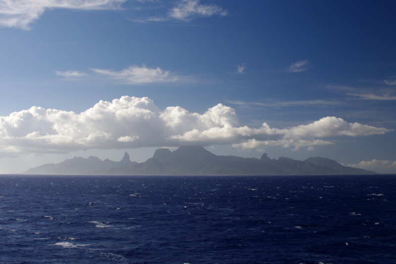
Eric, wow. Looking at Moorea silhouetted against the sun, it was hard to tell if it was even inhabited. I would love to go back. Happy painting.