National Parks Google Mapplet
 Some people are big sports fans. I’m a National Park fan.
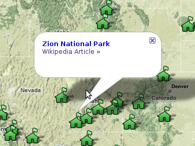
When I start thinking about going on an outdoor adventure, I look to see what parks I haven’t been to yet. When I’m going to be traveling to a new place, I look to see if there are any parks or monuments nearby. The only thing that would make this kind of enterprise easier is if all the parks were plotted on Google Maps.
Turns out Google offers the ability to create these map plugins they call mapplets, as part of their “My Maps” features. Unlike their original Maps API that allows anyone to put a customized Google Map on their site, with mapplets I can modify the core functionality of the Google Maps site itself. And then I can share these annotated maps with the world.
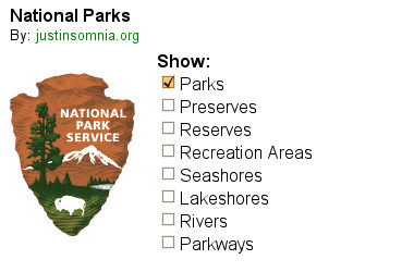
But a map with just a bunch of ranger station icons on it is kind of boring. The whole point of extending Google Maps is being able to add new functionality, not just data. What I really wanted to be able to do is show or hide parks by type.
So I did that too:

Cool huh? Definitely check it out and let me know what you think. Other than the rest of the 391 National Park Service units, what else should I make it do?

Is there any way to display the park’s name when you mouse-over one instead of having to click/select on one.
Dad, great idea, I just added the park names as tooltips to the markers.
Fantastic, just what I wanted
Now I just need to get busy adding all of the NPS National Monuments.