Hiking Rainier
On Saturday, Stephanie, Patrick, and I drove out to Mt. Rainer National Park for a little day hike. We were hoping the weather would cooperate, but as it happens, we never saw Mt. Rainier, even though we were standing right on it. With the summit at an astounding elevation of 14,410 feet, it spent the whole day in the clouds.
That didn’t stop us from getting our hike on. We parked at the White River trailhead/campground, and started out on the Glacier Basin trail. Immediately we came upon this foreboding sign:
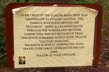
It read:
Over 1 mile of the Glacier Basin trail was obliterated by floods last fall. The damage starts just beyond the trailhead. There is a flagged route through the washed-out sections, connecting the old sections of trail. This route is marked with 3″ wide, yellow “caution” flagging.
The route is mostly unimproved with travel over large, loose rocks and log jams.
Follow at your own risk.
Well it didn’t say “don’t go” so we took a moment to record the sound of White River and then continued on our merry way. Sure enough, the trail deteriorated into absolute mayhem. We were climbing over fallen trees, jumping over newly deposited fields of boulders, and crossing improvised stream after stream. It wasn’t that the trail was impassable, it’s that it no longer existed. When they wrote “obliterated,” they were being literal.
I have to say it was certainly one of the more exhilarating hikes I’ve ever been on. Not so much for the difficulty in traversing it, or the natural beauty of the surroundings (elements that normally make for a good hike) but more for having had the chance to experience the raw destructive power of nature. The landscape had clearly been changed very recently, which made me feel as though I was exploring something new and undiscovered. I preferred the trail in its “unimproved” state. (I highly recommend that anyone interested take a visit soon, before any improvements are made.)
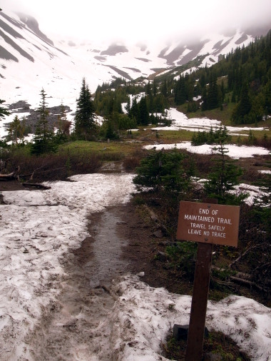
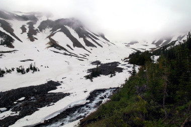
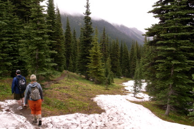
We hiked the entire length of the trail, 3.1 miles with 1700 feet of elevation change. The last mile or so we were walking through snow—in July! Then with wet socks and sore legs we turned around and began our slow decent down the mountain.
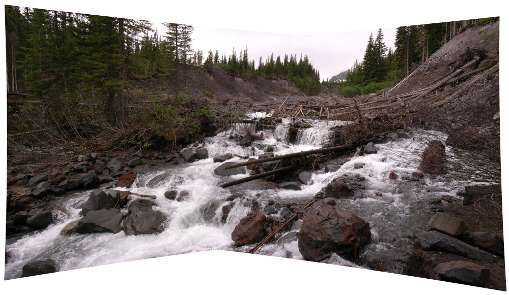
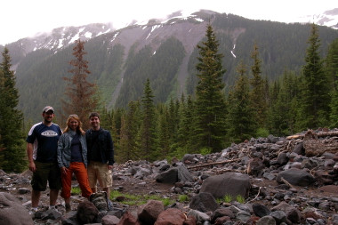
This is where the trail used to be
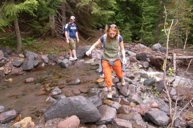
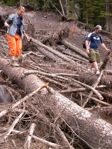


Patrick put up some of his pics here.
Whaou !!! I’m very impressed and I can’t say a word by the beauty. Love from moumounette and thank’s for sharing
You’re welcome! It was a truly amazing and unusual hike.
That’s just the kind of hike I was looking for. I’ll be visiting Seattle for two weeks starting at the end of August, and was looking for one day hike to do. However, since I’m unfamiliar with the area, I was wondering if there might be a hiking club or other group which might be planning a hike there, rather than my going solo. Any suggestions as to who I can contact and maybe tag along with?
Steve, I’m not from the Seattle area, I was visiting friends from out of town. I’d suggest calling the National Park Service at Rainier to see if they have any ideas. Good luck.
what a great i am very impressed to see the stream pictures thats verynice