Goodbye Colorado Trail
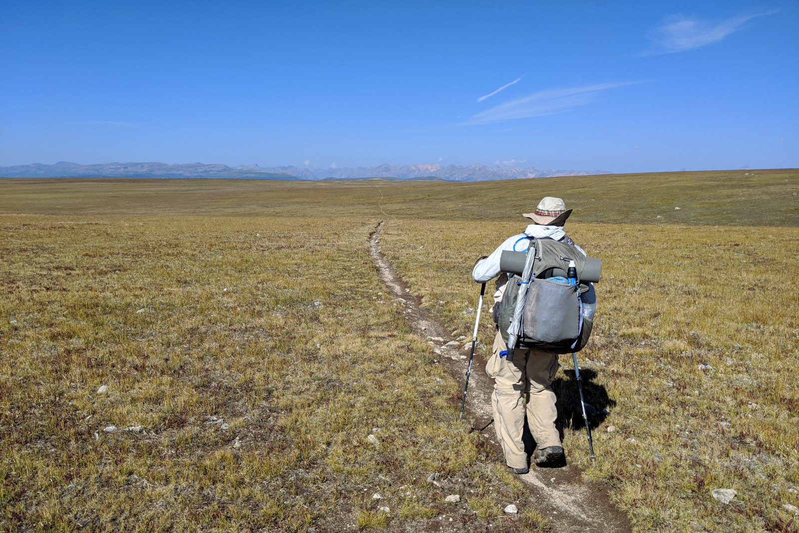
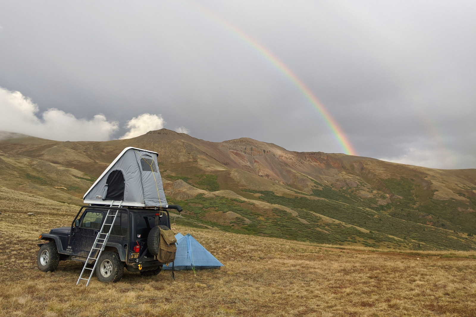
Even though I had a whole day to myself at Spring Creek Pass (before our 23rd meetup), I felt an obligation to stick around for any Colorado Trail thru-hikers. What I hadn’t accounted for, was that many were resupplying in nearby Lake City and returning to trail after having binged in town. I’d still offer soda when they jumped out of their hitches, but the look they made was always a pained, “Oh, please, no…” with hand on belly. The next morning I took leave of my post and headed up to meet Dad on his way in. I reached him after about 3 miles, augmented his morning snack with a can of Squirt, and then we continued down the trail together. Colorado’s summer monsoons had spontaneously returned the prior two nights, so I opted to cook up burgers for lunch while the midday skies were clear. The decision was prescient, as that night a thunderstorm swept in and unleashed a barrage of pea-sized hail—which we observed from within the Jeep, pelting Dad’s tent for about an hour. It passed, dusky skies followed, and I managed a quick dinner of hotdogs and haloumi.

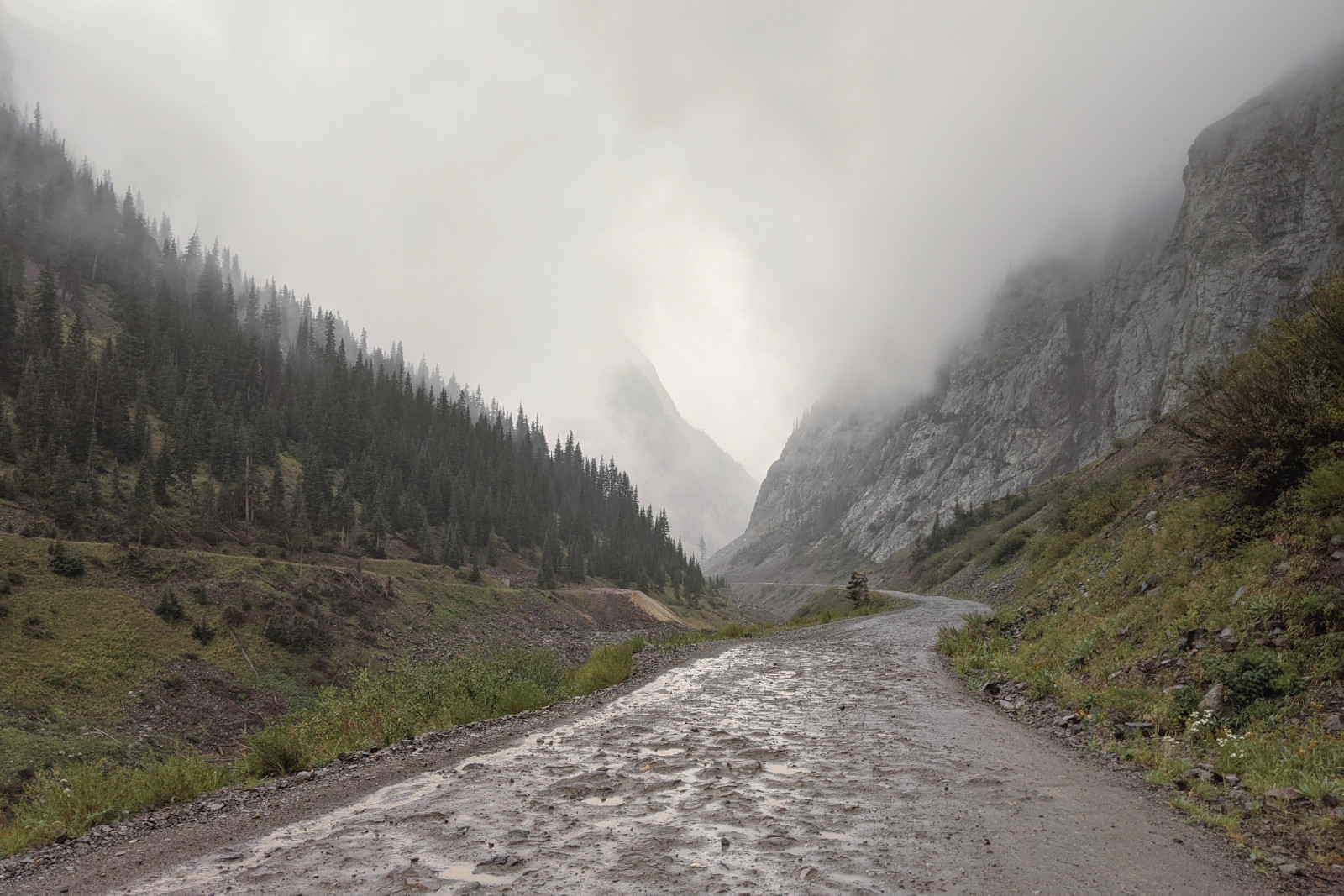
Our meetups had all been chosen from “access points” and “trailheads” indicated on the CDT Coalition’s Interactive Map, which Dad then manually translated into waypoints in the Guthook app. He confirmed that Google Maps could find a driving route from each selected waypoint to the next, and then just before we left Austin, we viewed each meetup location in 3D with Google Earth. Suffice it to say, Google Earth is not Earth. Google Maps dutifully routed me from Spring Creek Pass to Carson Saddle for our 24th meetup, but about 5 miles from the end, I found a sign that read, “4 WHEEL DRIVE RECOMMENDED FROM THIS POINT FORWARD” with a clipart Jeep Wrangler at the top. The dirt road that followed (more “rock road” at times) was extraordinarily rough, with tight, banked, hairpin turns, steep drop-offs, and since it had started raining again, torrents of water rushing down the ruts. Thank goodness I brought a Jeep Wrangler! Relieved to have reached the saddle intact, I hung out inside the Jeep while it continued to rain intermittently. Dad was a little chilled when he arrived, so he warmed up with hot cocoa, rehydrated chicken and rice, and the Jeep’s heater. For dinner I made “fusion” burritos, combining carnitas, an “al pastor” simmer sauce, and smoked Gouda.

Given the obvious four-wheel drive requirements for the region, it wasn’t exactly surprising that Google Maps insisted I embark on an out-of-the-way, 170-mile, 5-hour expedition to reach our 25th meetup at Stony Pass—whereas Dad would be slackpacking it in less than 16 miles! I wasn’t seeking any alternate routes until two guys showed up at Carson Saddle in a brand new Jeep and said that they had just come over a pass from Silverton (the town nearest Stony Pass). But I put it out of my mind. This trip was about reaching Dad safely, not getting stuck in Colorado’s rugged backcountry. Also, I’d promised him pizza. But when I reached signal the next morning, I discovered that the only Domino’s on the way wouldn’t be open in time. And without pizza in the equation, the idea of blindly sticking to pavement now seemed riskier because it put me so far away from Dad (should anything happen to me or the Jeep). It helped that Google Maps had figured out how to route me to Stony Pass via Cinnamon Pass—a mere 34 miles that ended up taking me, for two-and-a-half hours, on an exhilarating off-road excursion, all while listening to “The Stranger in the Woods” which turned out to be an apt and gripping companion for the journey.

Not long after Dad got to Stony Pass—having hiked for 48 days and 747.9 miles—a car pulled up next to us, and one of the guys inside said that they were part of a small ragtag film crew, there to capture footage of someone attempting a “fastest known time” or FKT (self-supported) of the Colorado Trail. “Do you know Jeff Garmire?” he asked. “You mean, Legend!?” I exclaimed, and then went on to recount how he played an instrumental part in my thru-hike of the Arizona Trail last year, and that I’d had the chance to thank him, in person in February in Flagstaff, at the premiere for Darwin’s AZT documentary, Through the Great Southwest. Based on his GPS pings, they said he should be coming through Stony Pass around 6:30pm. The sheer improbability of our crossing paths here boggled my mind, not to mention the fact that Stony Pass marked our last meetup on the combined CDT/CT—6 miles later, the CT would head southwest towards Durango, while the CDT curled east through the San Juans. Soon the film crew’s fleet grew to include a large van and a pickup, all huddled together with my Jeep and Dad’s tent in a small gravel pull-out. I held off on dinner, hoping I’d be able to snap a quick shot of Jeff coming up the rise, but 6:30pm came and went, and Dad was beyond hungry/tired, so I dropped the idea and quickly whipped up a variation on “frank and beans”: black lentil dal with basmati rice and white bratwurst (sliced and browned). With Dad ensconced in his tent for the night, I took one last look out over the trail, and sure enough a hiker was heading northbound! The film crew had all staked out positions farther up the trail (as I later learned, they were prohibited from any direct contact, should that be misconstrued as “support”), so when Jeff reached the road, it was just the two of us. He stopped hiking as I re-introduced myself, “This is the second time we’ve met, or third if you count Facebook,” and I immediately felt bad to have halted his progress, so suggested we walk and talk. Crazy thing is, he loosely remembered me, “Oh right, I was able to put your wife at ease” (by sharing the snow conditions north of the North Rim). “Exactly!” And then I briefly told him what I was up to with Dad on the CDT, and he seemed almost envious. “That’s totally the way to do it,” he said. I bid him good luck, and he walked off into the sunset.
