Between Cuba and Haiti
We are currently at 19° 7′ 9.87″ N 74° 25′ 2.45″ W somewhere west of Haiti, en route to Cartagena, Colombia. We passed within 6 miles of the eastern tip of Cuba this morning (20° 3.020′ N 74° 1.863′ W at 10am), close enough to see it looming off the starboard side of the ship.

The eastern tip of Cuba
Apparently sea traffic is so busy around this point that there are designated “lanes” for northbound and southbound vessels. Neat!
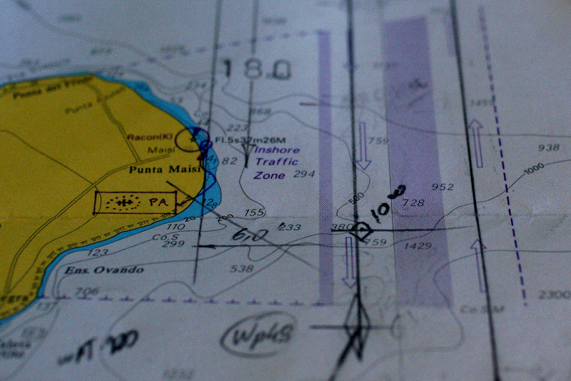
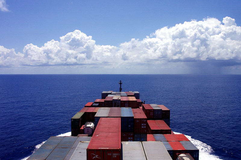
After breakfast in the mornings (it’s from 7:30-8:30, though we don’t usually get to the officer’s mess until about 8:20) we’ve gotten in the habit of going up to the bridge to chat with Jeoffrey, the third mate, who’s on duty until noon. We have tea, lounge in the captain’s chairs, and listen to stories about the seafaring life or his friends and family in the Philippines. He’s also been teaching us how to control the ship. As we came around Cuba, Stephanie changed the ship’s heading from south to southwest (at the point marked by the diamond above), in the direction of Cartagena. Here’s a great view looking forward from the bridge.