Scenes from Tubbs Island
As previously blogged, last weekend Stephanie and I drove up to the San Pablo Bay National Wildlife Refuge, located between Novato and Vallejo. I thought a hike there would be a welcome change from our usual height-seeking fare, especially considering that Stephanie is trying to reduce some knee strain.
There’s a parking lot for the trail to Tubbs Island just east of the intersection of CA-121 with CA-37, and the whole time we were there, we had the place to ourselves. We never saw another soul. The weather was a little windy early in the day, but it warmed up. And when we weren’t futzing with our sandals, the surrounding flat lands provided a nice backdrop for some landscape photography.
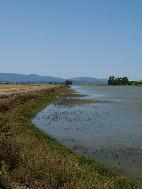


Its definitely a nice, easy place to hike. Next time I want to go there at low tide in hopes of seeing more shorebirds.
Hiking at San Pablo Bay National Wildlife Refuge – Tolay Creek Tubbs Island Trail – BRT Insights 26nov2011.
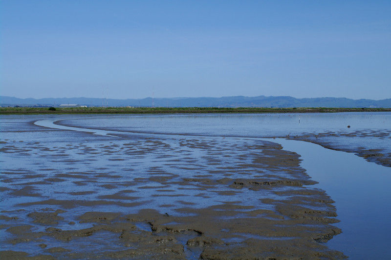
Hello, I would like permission to use your photo of the mud flats for a Math paper I am writing. It is about fractals, which I noticed on my recent drive through San Pablo Bay, in the mud flats and mountains. None of my pictures came out and I would greatly appreciate if you wouldn’t mind my using your picture (and crediting you) as a visual for my paper. Thank you for your time, I look forward to hearing from you.
Sarah, please feel free. Good luck with the paper.