Justin versus the Volcano

Shortly before our Lassen trip, I was cruising Google Maps in satellite view and stumbled upon the after-effect of a dramatic volcanic eruption. Flipping back to the awesome Terrain view, I discovered that these were the Fantastic Lava Beds, and were apparently accessible by trail from our campground at Summit Lake.
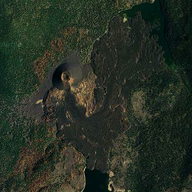
Cinder Cone seen from space

I had this strong desire to go there—I mean how many chances to you get to climb a volcano?—the only problem being that it was about 8 miles from the campsite, not the low key-hiking I’d promised my camping comrades. So I pretty much figured we’d have to forgo it when Stephanie realized we could drive around the park and enter at Butte Lake, putting us within two miles of the Cinder Cone. So that’s just what we did.
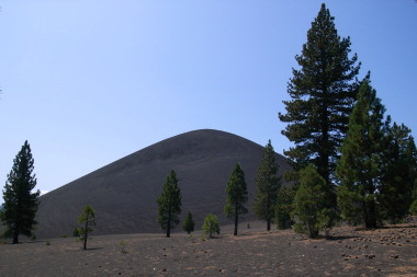
Cinder Cone
Stark profile of the Cinder Cone in the distance
Cinder Cone trail
Like hiking on a beach of volcanic ash
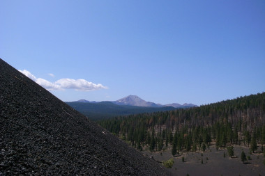
Mt Lassen from Cinder Cone
Mt. Lassen in the distance (notice the steep angle of Cinder Cone)
Cinder Cone's cone
First view of the cone from the outer rim
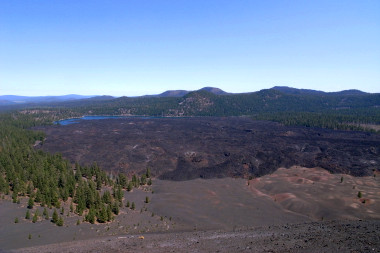
View of the Fantastic Lava Beds from the outer rim of Cinder Cone
The Fantastic Lava Beds and Butte Lake from Cinder Cone
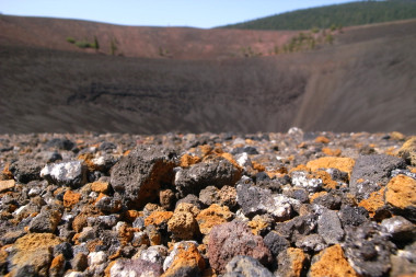
Pumice at the inner rim of Cinder Cone
Stephanie took this beautiful shot of the colorful pumice at the rim
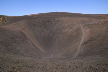
Looking inside Cinder Cone's cone
I ran down into the volcano (I’m that white pixel at the center)
Justin at the very center vertex of the Cinder Cone
For real!

Care to Comment?

Or if you'd prefer to get in touch privately, please send me an email.

Name

Email (optional)

Blog (optional)