Tramping Rangitoto
Last Thursday, feeling sufficiently settled in Auckland, we ventured out and took the ferry to Rangitoto Island. It takes less than 30 minutes to get there—the island is a visible presence from most parts of the city. It’s also one of the youngest volcanoes in the area, having sprouted only 600 years ago.
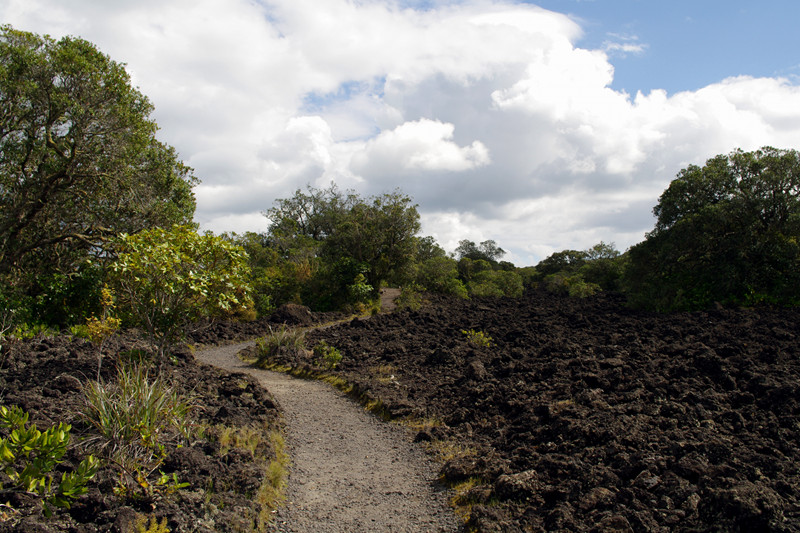
From a distance Rangitoto looks lava-black. I was expecting something like Death Valley or Mars, given how new the island is. I was wrong—it’s surprisingly lush. From the moment we stepped off the ferry, the tree cover (predominantly ferns and mangroves) was impressive. Plants have taken hold in a major way, especially in the last few hundred years, as some drawings of the crater from 1800s show it completely bare of vegetation.
An aside for my readers from the US: Kiwis (the people, not the birds) use the word “track” for “trail” and the verb “to tramp” for “to hike”. For accuracy of nomenclature, I’ll use the New Zealand variants where appropriate.
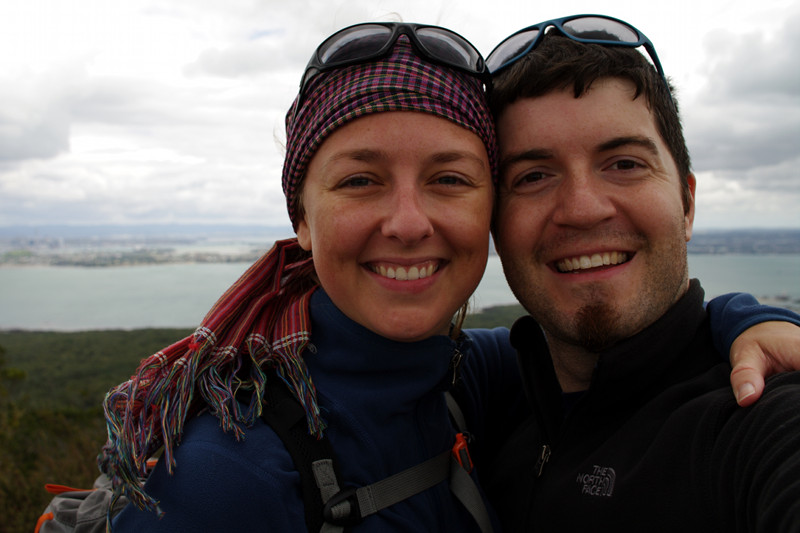
We immediately headed up the summit track, a nice path cut through the forest and fields of lava. It took a little over an hour to get to the top, just beyond the 60 meter deep and 200 meter wide crater. After devouring our ham sandwiches, we walked around the rim, and then down the boardwalk to Summit Road, where we got great views of the neighboring Motutapu Island.
The last ferry from the island left at 3:30pm (we arrived at 11am) so we took Islington Bay Road back to the wharf rather than go all the way to the eastern edge of the island and around the coastal track. We had some time to spare when we got back, so we explored the maze-like paths through Kidney Fern Glen and Kowhai Glen, before sitting down to enjoy the apples we’d brought with us.
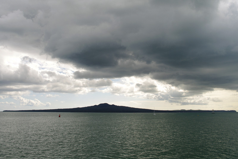
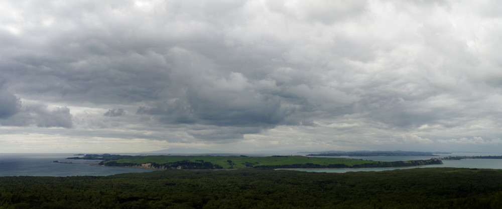
Panoramic view of the adjacent Motutapu Island
Wow that view of the Ferry building is gorgeous and the panoramic view is great, I love high contrast skies. Keep the photos coming you two!
Rangitoto is gorgeous. Don’t know if you plan to go back that way, but if you do, take Islington Bay Road from the wharf and keep going till you get to the sign for Wreck’s Bay. That takes you off the main track and leads to Wreck’s Bay, where ships went to die, it’s a bit of treacherous track so you need nice sturdy shoes, but it’s worth the walk.
Glad you’re enjoying NZ so far, and thanks again for stopping by our place on Saturday, hope to see you again sometime :)
mary
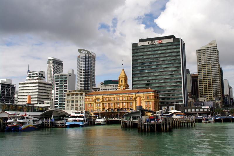
Nick, it was one of those lucky moments where the light broke through the clouds and illuminated the building (also helps that it’s yellow and everything else is gray). It’s in shadows in a shot I took a few seconds later.
Mary, thanks for the heads up, and thanks for hosting us on Saturday, it was a great intro to Auckland. Not sure we’ll make it back to Rangitoto this trip, just too much we want to do, but thanks for the tip.
Hi Justin & Stephanie. My husband & I just returned to NZ on Tuesday. We sailed on the Cap Cleveland from Timaru on 7 August. Got off in Philadelphia on 7 Sept. then visited friends in the States & Canada.We live in Nelson NZ (top of the South Island) – would love to catch up if you are travelling this way.
The famous Mullins! Jeoffrey told us about you. We should be coming by your way. Send me an email so we can coordinate.
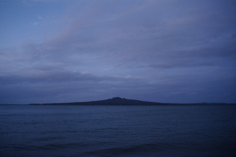
Added a photo at the bottom of Rangitoto at dusk as seen from Mission Bay.