We are currently at 2° 6′ 6.4″ N 94° 37′ 30.46″ W, northwest of the Archipiélago de Colón (popularly known as the Galapagos Islands), en route to Auckland, New Zealand.
This is roughly the halfway point in our container ship journey. We’ve been on the Cap Cleveland for two weeks now, and we have a little over two weeks to go. We’re currently heading WSW (248°) across the Pacific, via Tahiti, a distance of 6,785 nautical miles. Unfortunately we won’t be stopping in Tahiti, but depending on the time of day we pass by, we might catch a glimpse.
We’re traveling at an average speed of 18 knots (18 nautical miles per hour), which is calculated based on the total distance and the number of days we have to get to Auckland. Unlike our journey from Philadelphia to Panama, there isn’t a lot of slack in our schedule, so we’ll be “steaming” at that speed 24 hours a day. No more drifting. Each day we should cover about 432 nautical miles. The ship’s top speed is 24 knots, so if we get behind schedule, we’ll just go faster. However based on our current position and speed, we’re actually ahead of schedule by a day.
Control of the ship is handled by the captain and three officers: the first (or chief), second, and third mate. Each officer has a four hour watch in the morning and a corresponding watch in evening. For instance, Jeoffrey, the third mate we’ve spent a lot of time chatting with, is on watch from 800-1200 (8am-12pm) and from 2000-2400 (8pm-12am). This enables the ship to run continuously around the clock.
Speaking of clocks, between now and our arrival in New Zealand, we’ll be gaining an hour every other night. Last night we gained an hour, making the ship’s time UTC -6, equivalent to US Mountain Time. When we cross the International Date Line next week, we’ll actually lose a whole day, which means we’ll jump from Thursday, September 30th to Saturday October 2nd! Say “hi” to October 1st for us ;)
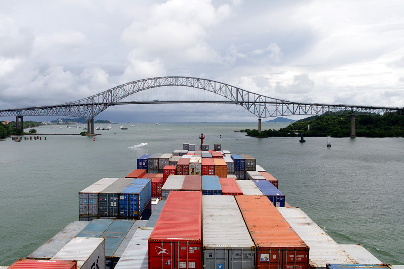
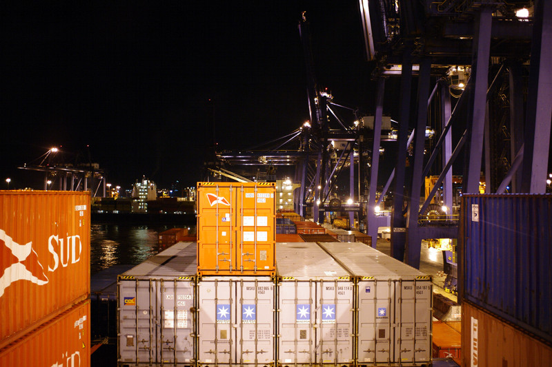
We didn’t know what time we’d be leaving Balboa on Saturday. It all depended on the cargo operations, which apparently were taking longer than expected. We started pulling away from the dock a little after one in the afternoon. The port is right at the entrance of the canal (just south of the Miraflores Locks), so once we passed under the Bridge of the Americas, our long journey across the Pacific was underway.
Saturday night was the bosun’s birthday (the bosun is the boss of the main deck), so we joined the crew for another party. We stayed up late singing karaoke and enjoying some treats they procured in Panama—as well as some more fish they caught off the side of the ship.
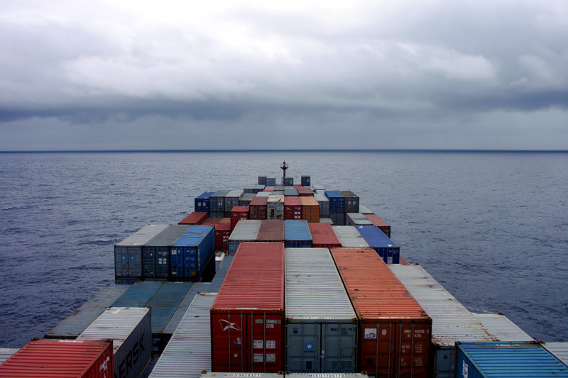
With all the excitement from transiting the Panama Canal, we took things pretty easy on Sunday. Sleeping in, reading, writing. The Pacific seems to be a little rougher than the Atlantic and Caribbean so far, with a noticeable rising and falling of the bow. No seasickness—yet.
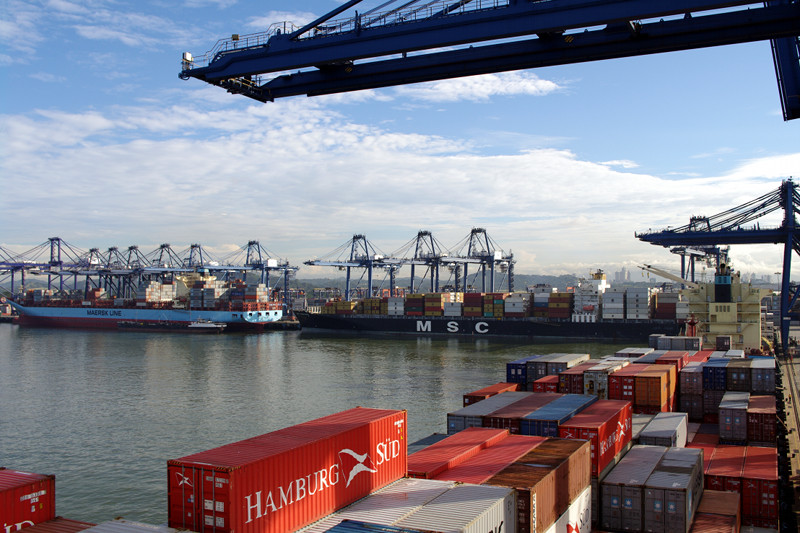
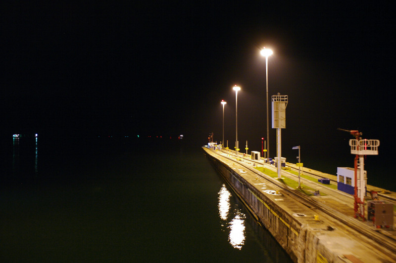
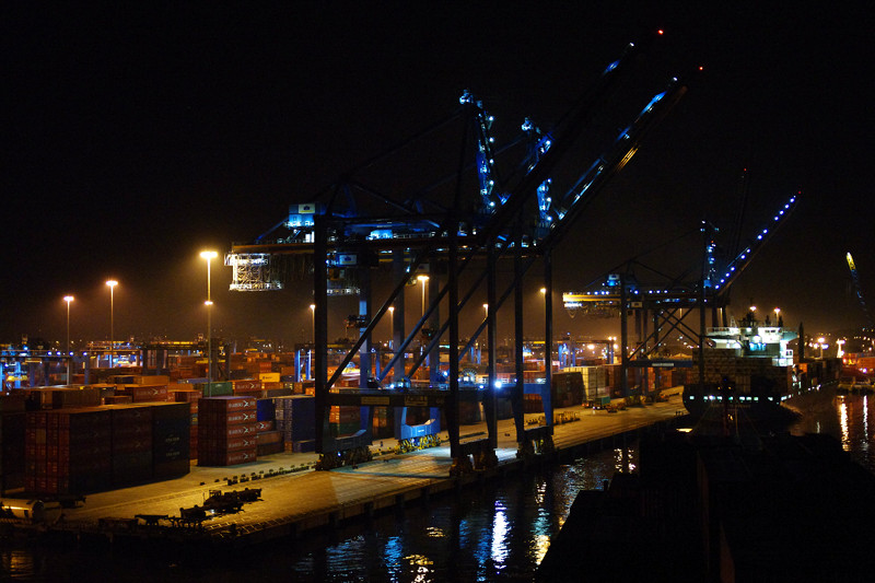
Other container ships docked at BalboaView towards the port we walked through Friday night in the dark
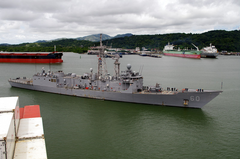
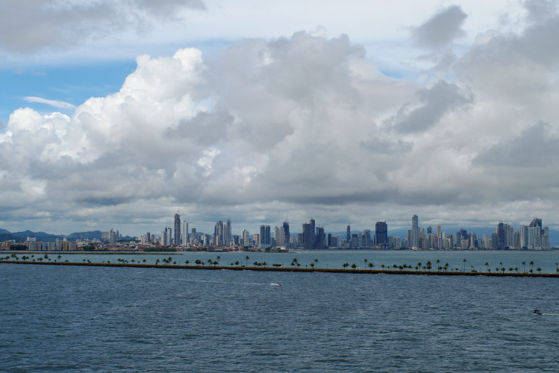
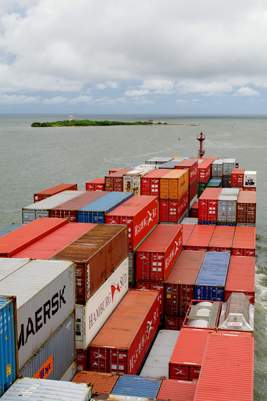
US Navy Warship coming into BalboaAbout to pass under the Bridge of the AmericasPanama City (and the causeway to Flamingo Island)Heading into the cloudy Pacific
We are currently at 6° 40′ 51.77″ N 81° 10′ 45.33″ W, about 150 nautical miles west of Panama, en route to Auckland, New Zealand.
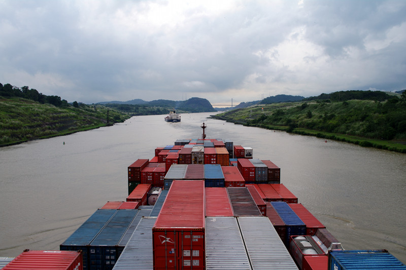
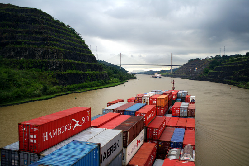
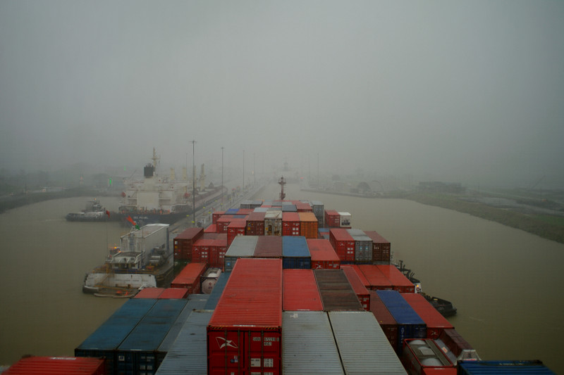
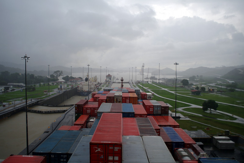
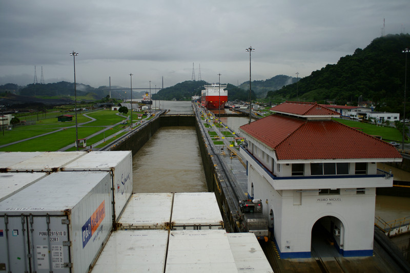
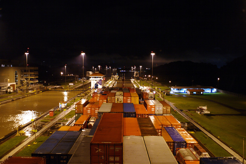
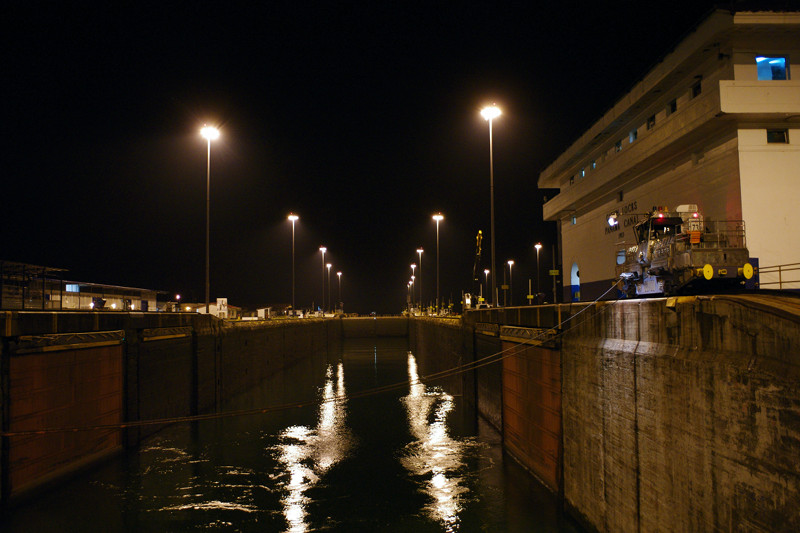
After getting through the Gatun Locks very early on Friday morning, and then anchoring just beyond them, we resumed the transit again after noon, making our way through Gatun Lake. We chilled in our cabin for a while when it started raining, but later went up to the bridge to see the Gaillard Cut and the Centennial Bridge. We stayed there until we made it through the Pedro Miguel Locks around 5:30—a very slow process that took well over an hour. We got through the second of the Miraflores Locks by 7:30, our last hurdle on the way to the Port of Balboa. All told, it took about 16 hours to get through the Panama Canal.
At 9pm we got a call that our shore leave passes were approved—until midnight. So we got off the ship (for the first time since Savannah). It was just the two of us, walking through the middle of this giant port in the dark, trying to find our way to the gate. Stephanie said it made her feel like an ant that could be squished at any moment. A shuttle happened by, and we asked them to take us to the gate for a taxi. With some instructions from the crew on how much to pay, we agreed on $20 to take us to a restaurant on the “causeway” (essentially Flamingo Island) and then bring us back to the ship at 11.
He took us to a restaurant called Bucanero’s. We weren’t that hungry (we’ve been well-fed on the ship), so we ordered margaritas and some appetizers: ceviche, baked cheese with almonds, and little plantain pizza bites. The cheese was our favorite. It was a little strange to be back on land, and stranger yet to be in a country where neither of us speak the language (though Stephanie knows a little Spanish), but we did just fine. We made it back to the ship by 11:30 and immediately fell asleep.
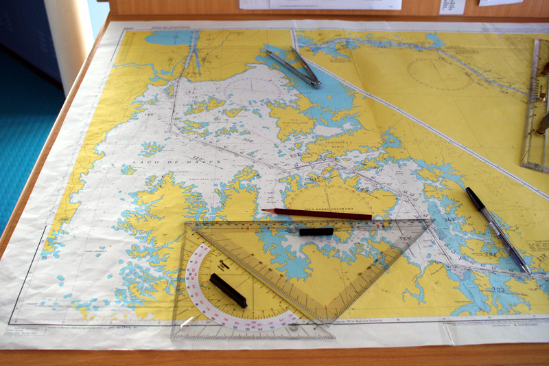
Panama Canal navigational chart (showing Gatun Lake)
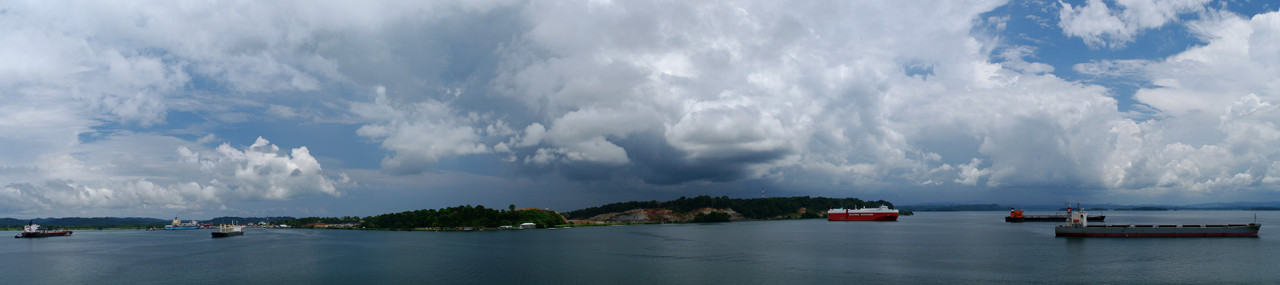
Panorama from our anchorage in Gatun Lake, looking toward the excavation to create a larger lock
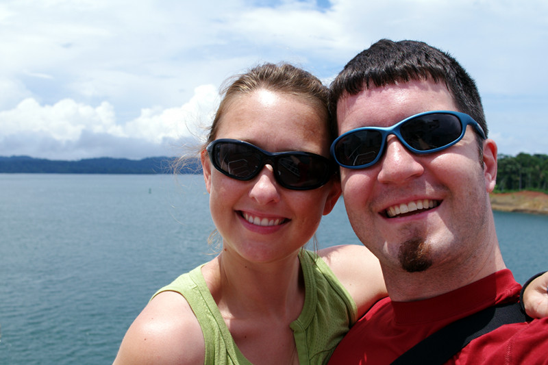
Justin and Stephanie with Gatun Lake in the backgroundDark clouds and rain aheadPassing through the narrow Gaillard Cut
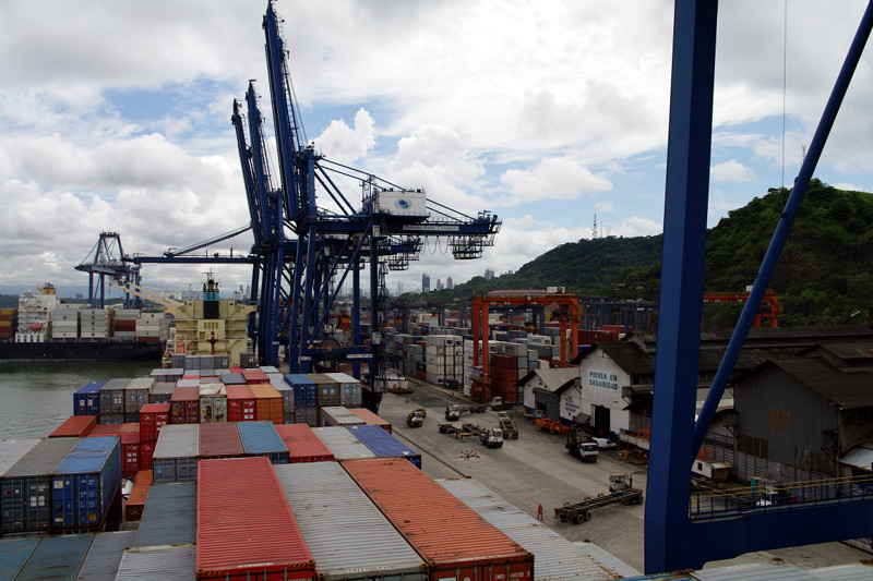
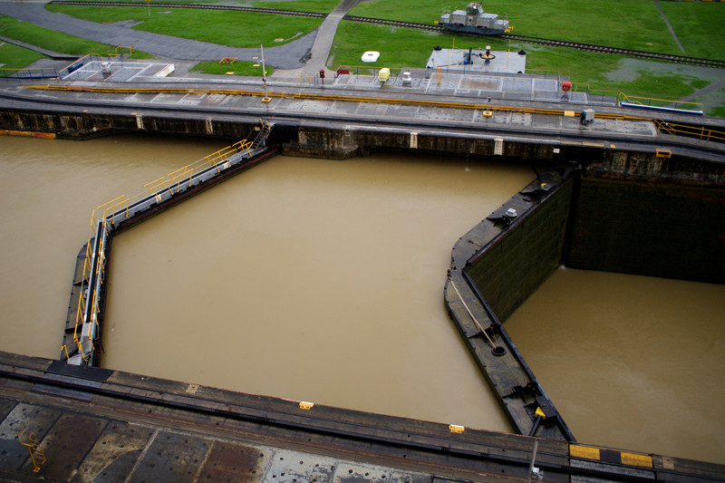
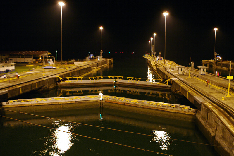
Centennial BridgeApproaching the Pedro Miguel Locks in the rainThe rain passed while waiting for the lock to openOverhead view of the lock’s double gatesIn the lockLooking back at the Pedro Miguel LocksIn the first Miraflores LockThe Port of Balboa from our window
As promised, we set the alarm for 4am, which was a little rough for me, since I’d been up past midnight—until the ship was anchored inside the breakwater that surrounds the entrance to the Panama Canal. I peeked out the window and saw that we were somewhere in line for the locks, but I couldn’t tell how close we were.
We pulled on our clothes with a sense of urgency and went up to the bridge. From there we could see that the Cap Cleveland was next in line for the Gatun Locks, a series of two locks that would bring us up to the level of Gatun Lake.
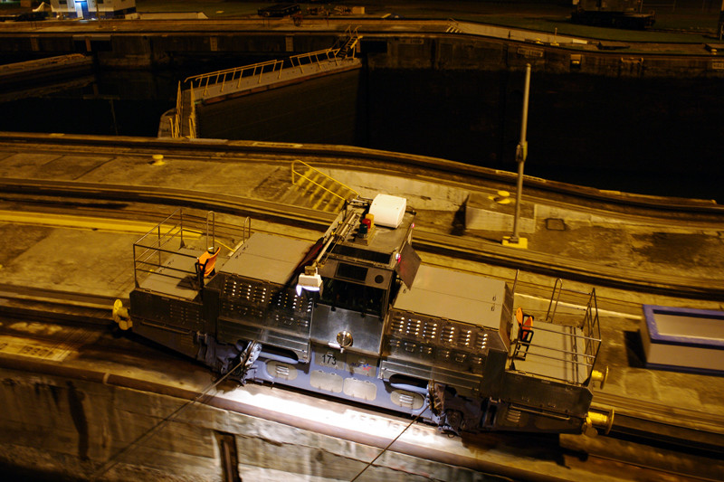
After taking a few pictures, we went down to the main deck and all the way to the forecastle (at the very front of the ship), to experience the locks up close. The ship was guided along by two locomotives on either side of the locks. They traveled along special tracks that enabled them to climb hills and pull enormous Panamax ships—built specially to fit through these locks.
We stayed down at the forecastle until we made it through both sets of locks and into Gatun Lake. At that point, there wasn’t much else to see. They were going to drop anchor again just after the locks, and continue the transit sometime later in the day. When we got back to our room it was 5:30, so we collapsed into bed and slept until 10.
Approaching the Gatun Locks of the Panama CanalJustin and Stephanie (in hardhats) at the forecastleThe first Gatun Lock at low waterThe first Gatun Lock at high waterLock openingLock openA Gatun Lock locomotiveDouble doors of the second Gatun LockWelcome to Gatun Lake
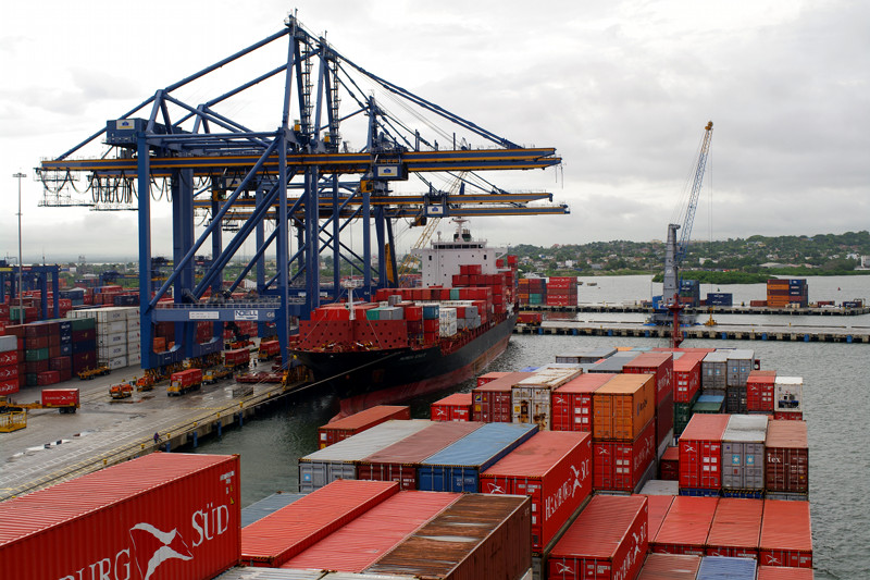
I got up at 6 this morning, hoping that cargo operations in Cartagena would give us an opportunity to get off the ship. No such luck. They were actually ahead of schedule, planning to wrap things up between 8 and 9. In the morning. Oh well. And as if to underscore the point, it started raining. No cigar for real.
I went back to bed, and woke up again at 8 to watch the last containers being put in place. Then Stephanie and I went up to the bridge to watch the boat leave the dock and get piloted out of the harbor. The rain had stopped, leaving some dramatic clouds hanging over the city, so I took a few photos.
The good news is that Panama was only a hop, skip, and a jump away. We spent the whole day getting here, and tomorrow morning we’ll begin to transit the canal around 4 in the morning. We’re planning on waking up for it. Should be in Balboa by 7pm.
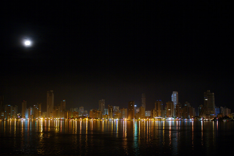
Approaching the Port of Cartagena last nightSkyline line reflections
Panorama of the highrises overlooking the harbor
Pulling away from the portExiting the harbor, on our way to Panama