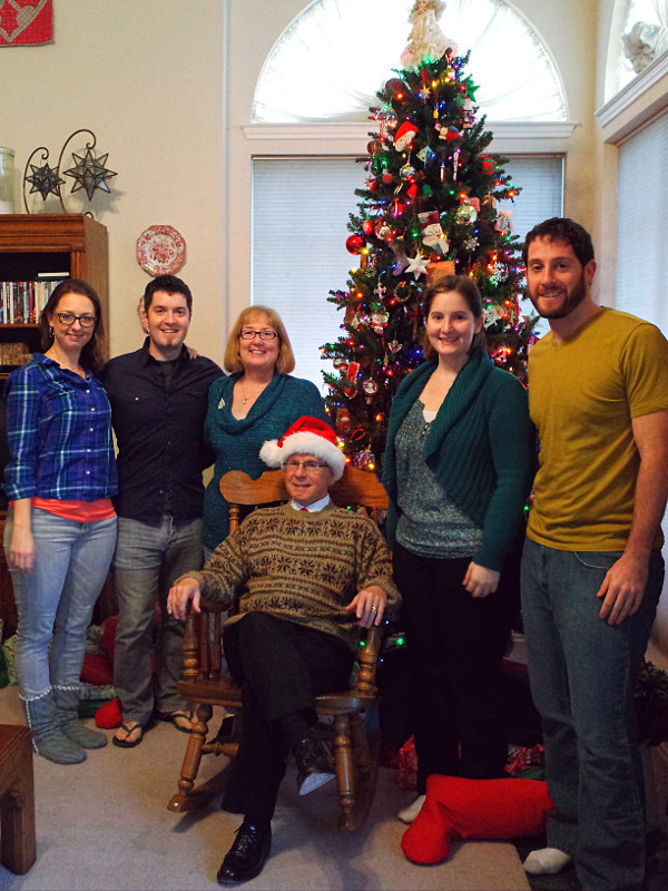
It’s hard to believe it’s finally over, but today at 11:50am, my dad (aka Tartan) reached mile 2660 of the Pacific Crest Trail (aka the PCT, the Crest Trail, or just, “The Trail”) after 144 days. He was projecting it would take him about 150 days, or 5 months to complete, at an average pace of about 17.75 miles/day. At 144 days, his average pace was just under 18.5 miles/day. Of course that includes a number of zero and “nero” days, necessary in order to resupply somewhere off-trail. When he was really moving, usually hiking from about 6am to 5pm every day, his normal daily mileage was more like 20-21 miles/day.
A few days ago, my sister flew to Vancouver and then drove to Manning Park so she could meet him at Monument 78—the official end of the PCT. That entailed an 8.6-mile hike to the US-Canada border, and since they were not planning on camping, they hiked the same 8.6 miles together, back to Manning Park. The first time I hiked more than 17 miles in a single day was earlier this year, with Dad on the PCT, so this was no small feat for Katie. Way to go!
On May 16th, my dad sent me an email with a plan that would get him from mile 566 of the Pacific Crest Trail in Tehachapi to mile 942 in Tuolumne Meadows on June 8th—23 days later. On the surface it seemed like a “walk in the park”—an average pace of 16.3 miles/day when he had been doing 19 or 20. However he had 4 resupply stops to make on the way which would consume 2-3 days of hiking time. Subtract those 3 days, and suddenly he was looking at a strenuous 18.8 miles/day pace, which made him increasingly nervous as the mountain passes in the Sierras got higher, scarier, and snowier.
Every evening I get an email from my dad’s SPOT Satellite Messenger letting me know his latitude and longitude along the Pacific Crest Trail (and that he’s OK). He asked me to track his mileage, so at first I put his coordinates into Google Maps, which actually has the PCT plotted, but the mileages didn’t seem to match the “official” mile markers that he’s referencing from Halfmile. They offer a KMZ file of the PCT for Google Earth, but I totally failed at getting it installed on Ubuntu. Eventually I was able to commandeer Stephanie’s Mac to get it to work, but it seemed like a hassle when all I really wanted was a quick way to enter his current latitude and longitude from the email and find out what half-mile marker he’s the closest to.
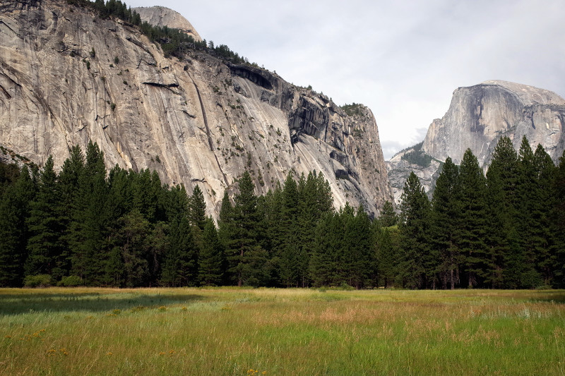
My brother’s visit in July afforded us the rare opportunity to go backpacking together, just the two of us. He’s not done much camping, and I’ve never been backpacking in bear country, so to ease our apprehension, I booked us three nights at Yosemite’s Merced Lake High Sierra Camp. From what I had read, it offers a “backpacking experience without the backpack”—they provide tent cabins and do all the cooking. Sounded pretty great to me.