Cache Creek Canyon Regional Park
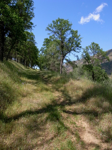
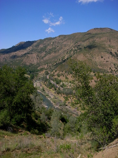
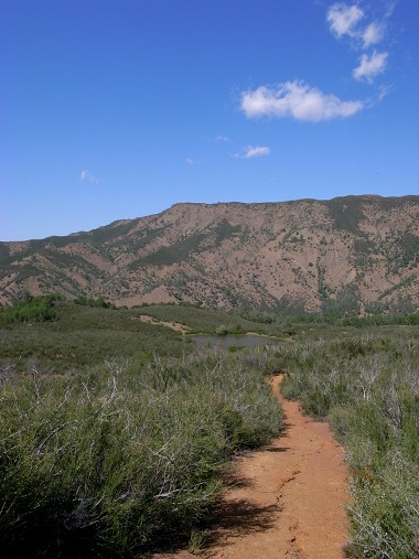
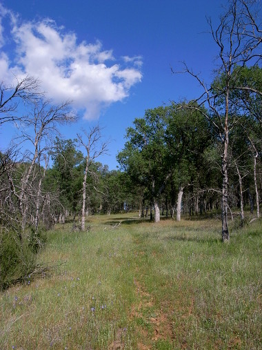
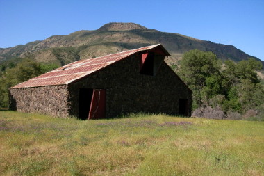
Last weekend, after picking strawberries as part of Farm Fresh to You’s spring farm tour, we headed further up CA-16 to Cache Creek Canyon Regional Park, at the north end of Capay Valley. Thanks to info gleaned from Yolohiker.org, we decided to take the Frog Pond Trail, a 5 mile loop with an elevation gain of 660 feet. It seemed like the elevation gain was all right at the beginning, and then we were cutting through tall spring grass, rolling meadows with trees, and some interesting dense brush.
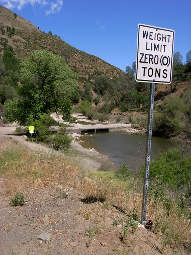
lol I love the weight limit sign! I’ve never seen that one before!
hey thank you for the info, you seem to have an interesting personality. Thank you for the pics and pic captions. I’ve live right by here and cant find any real info or pics on this. So thanks again!
Nice green photos of Frog Pond Trail !! It was much more brown when we hiked there in January.
Cache Creek Natural Area, Frogpond Trail hiking – BRT Insights 30jan2012