The Rae Lakes Loop
When we left San Francisco early on the morning of July 3rd, bags packed for a four-day backpacking trip, there was no guarantee that we’d actually be able to hike our intended route: the 41-mile Rae Lakes Loop in Kings Canyon National Park. All of the reservable wilderness permits for the holiday weekend had been booked long in advance. So we decided to try our luck at securing two of the ten first-come, first-served permits, which become available after 1pm the day before your hike. We had no idea if there’d be a groundswell of interest in the loop (as it’s one of the most popular in the park), so we left as early as humanly possible (aka 6am) to improve our chances. When we arrived at the Roads End Permit Station just before noon, anxious to size up the competition, there was no one else there. We ate our lunch in the shade of the tall trees, and when 1pm arrived, we got our permits without issue.
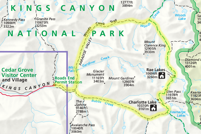
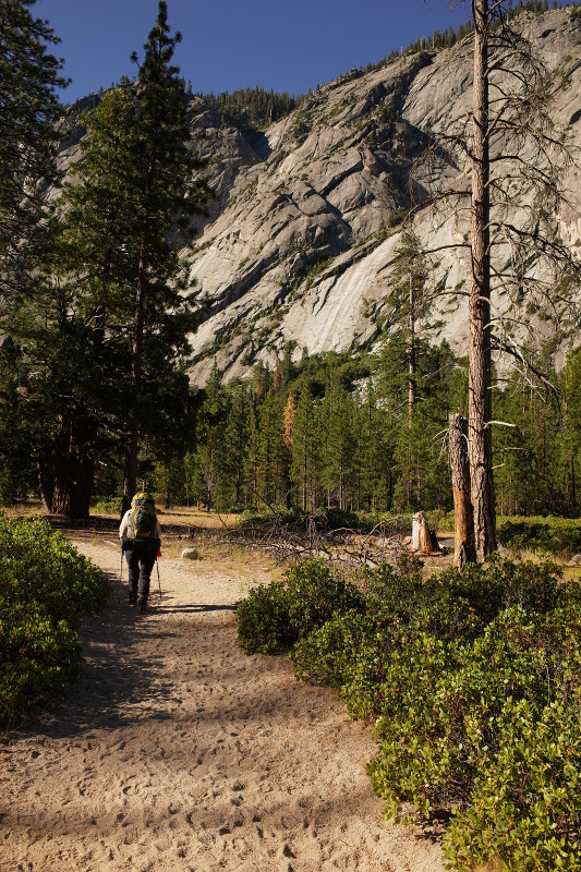
Though we had intended to hike about 10 miles a day, when we reached that point on day one we found ourselves on the side of a mountain. So we trudged onward, for more than an hour, until we came upon the first reasonable patch of flat ground: a sloping, gravelly hillside composed predominantly (it seemed) of volcanic ash. We’ve never had any “couple issues” in putting up our tent, but in our exhaustion that evening, it took us three tries before we were able to correctly orient the tent and the poles.
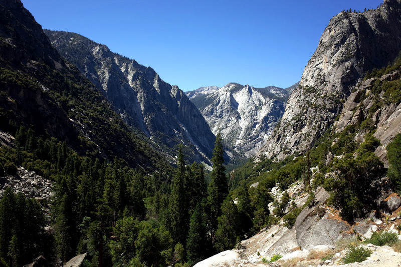
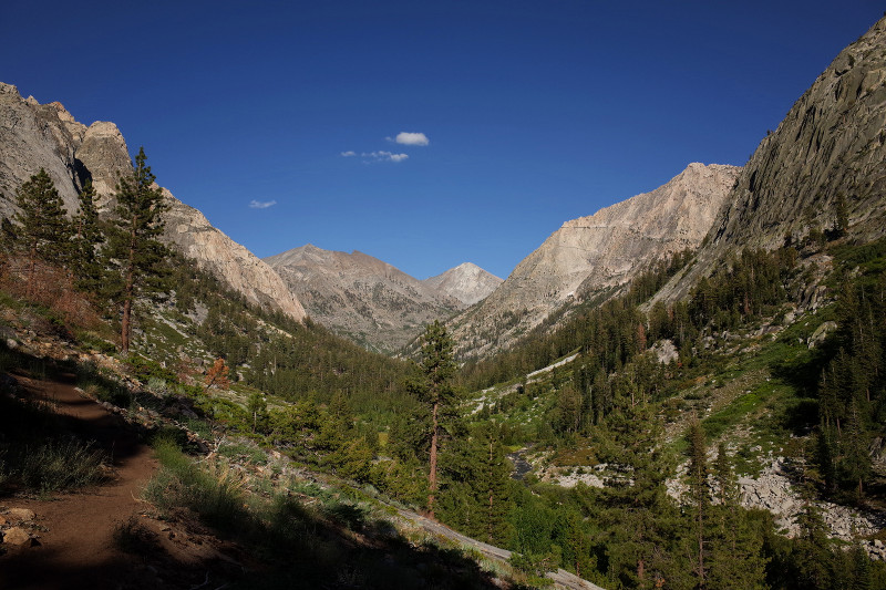
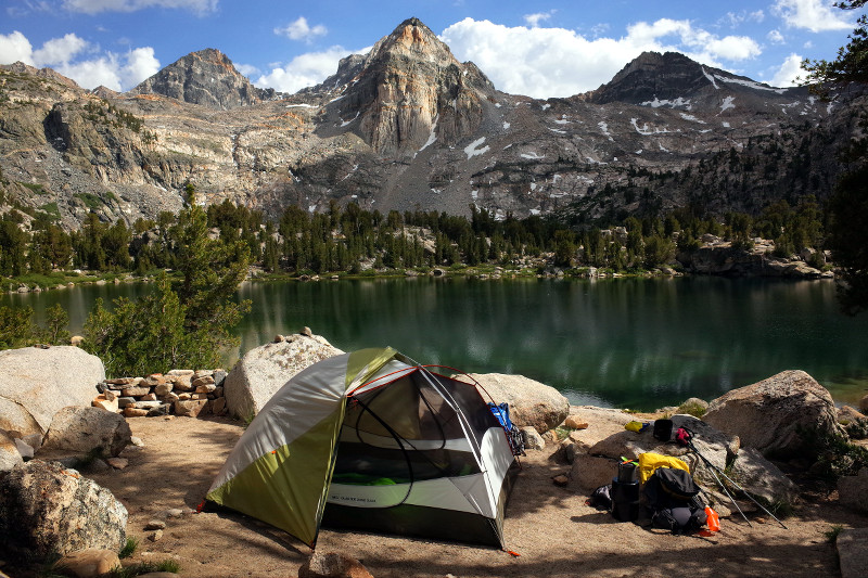
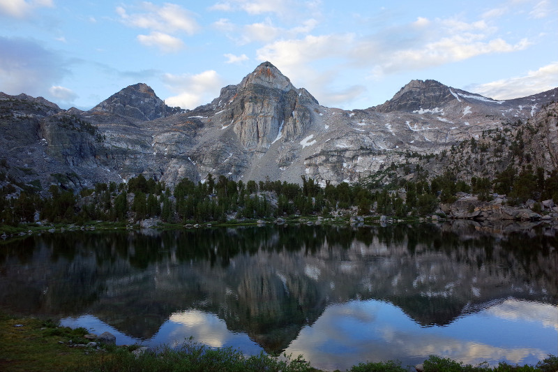
On day two we crossed onto the Pacific Crest Trail, this time heading southbound, treading the same ground that my dad had hiked northbound only a month earlier. We ended the day overlooking one of the Rae Lakes, at a campsite that will surely rank as the best ever. We spent the rest of the afternoon transfixed by our “Sunset Magazine”-esque view of the lake, reflecting the impressive Painted Lady in the distance.
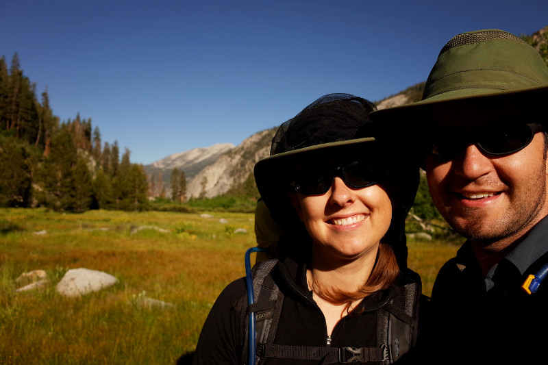
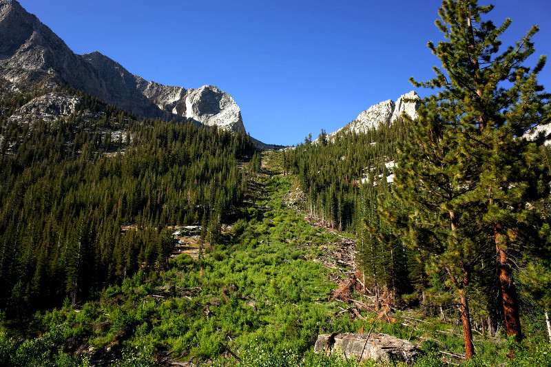
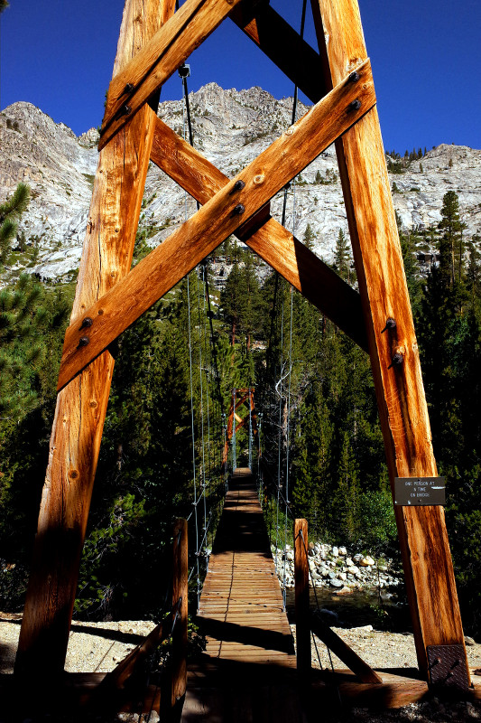
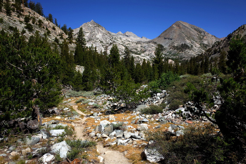
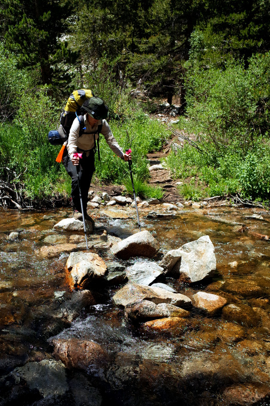
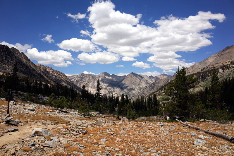
At an elevation of 11,978 feet, Glen Pass was 1,440 feet above our campsite at Rae Lakes, and the highest point of the loop, which made for a slow start to day three. We were aided by overcast skies, but hampered by the misty rain they produced as we got closer to the top. Thankfully the rain let up, and we eventually reached the pass, spending a few moments there to absorb the view and relish in our accomplishment (and lightheadedness). From that point on, the trail was all downhill. Since we had to hike and drive home to San Francisco the next day, we continued beyond Junction Meadow (where most people stop) and pushed ourselves to get to an established campsite just before Charlotte Creek.
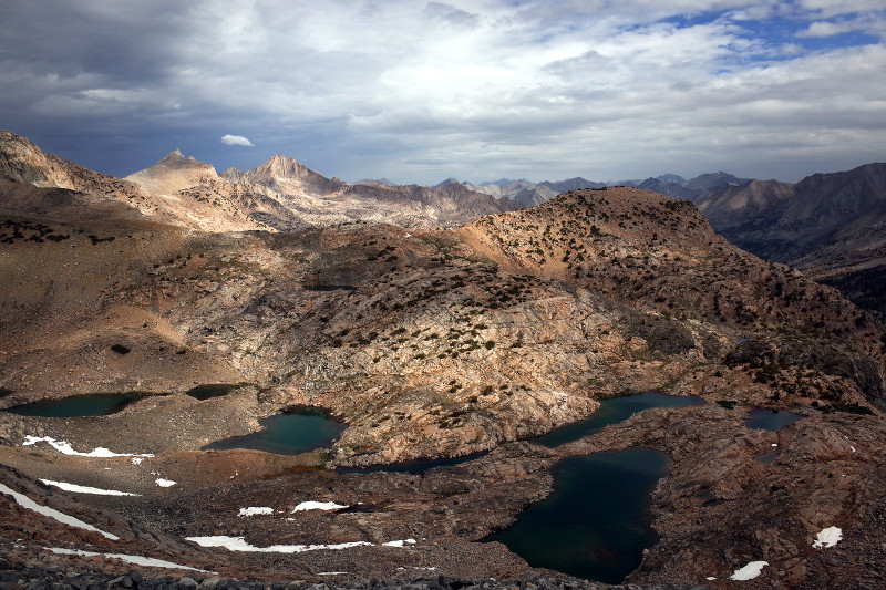
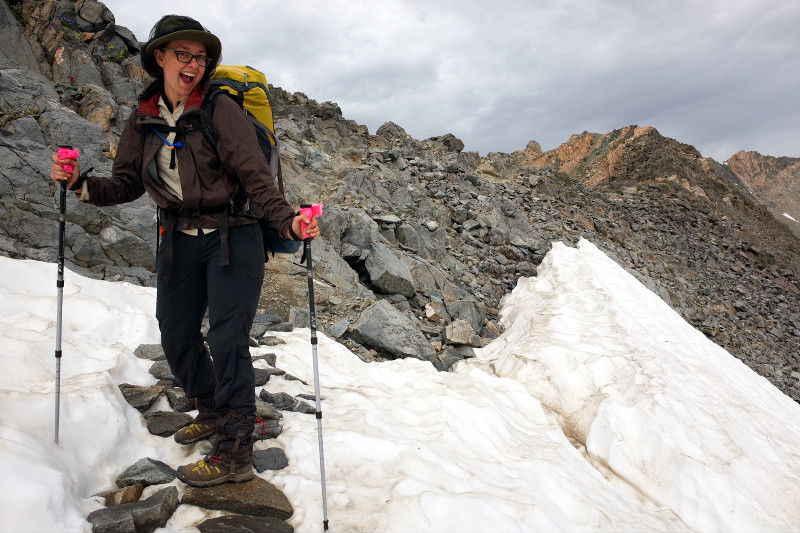
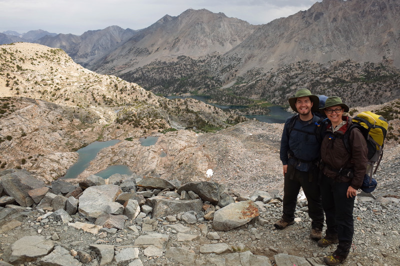
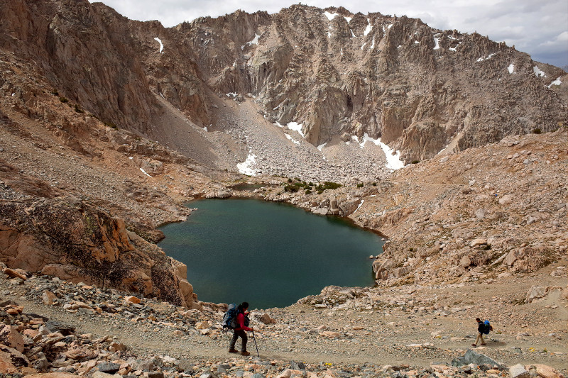
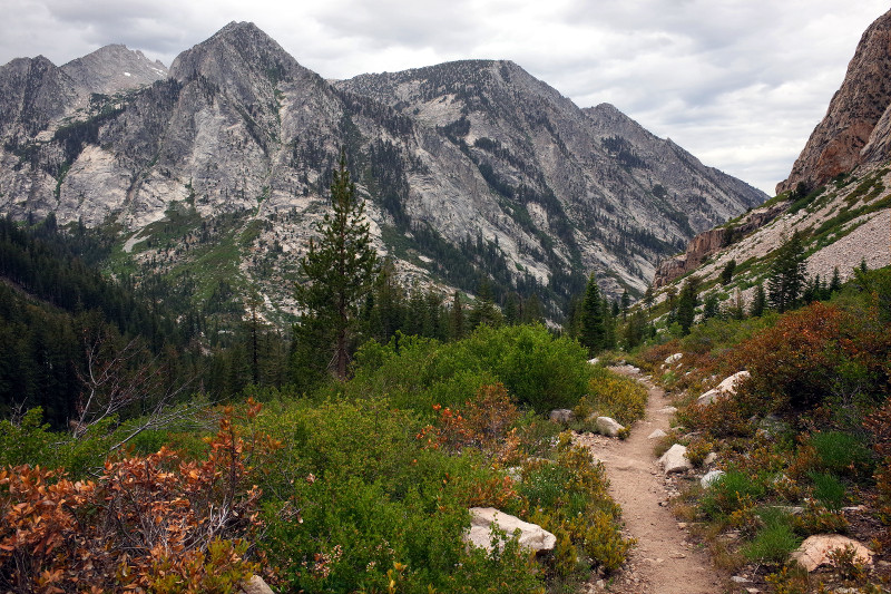
We had a mere seven miles to complete on day four, the last. It was gradually downhill at first, and then very dramatically downhill towards the end, in a series of nearly endless switchbacks. (This is why most people do the loop clockwise.) We made it to the trailhead at 10:30am, whoopin’ and a-hollerin’. We were excited to finally be able to change out of our dirty clothes—but also we were quite proud of our accomplishment: this was the longest backpacking trip (in distance and days) that we’d attempted together so far.
Marvelous post! Makes me remember when I was there.