Birthday Airmail Resupply
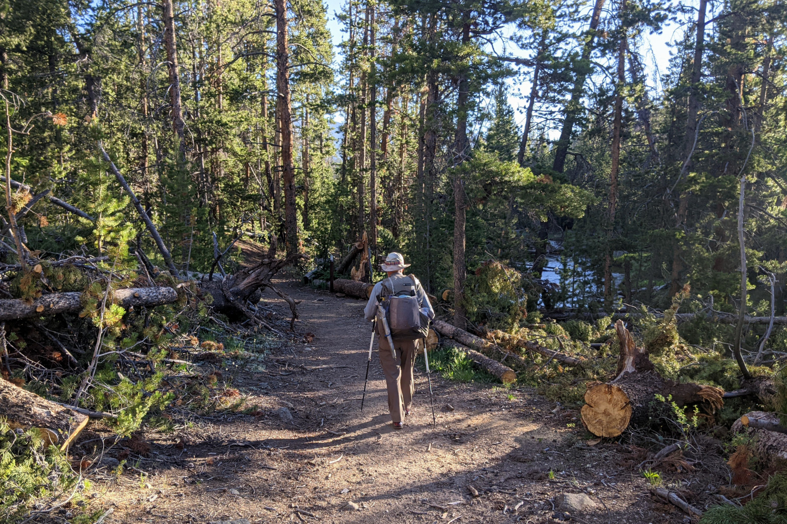
There was a 68-mile stretch of trail through the Wind River Range (between the Big Sandy Trailhead and the Green River Lakes Trailhead) without any points I could access by Jeep. In the best of times that would take Dad about 5 days, but we knew these were not the best of times. While recharging in Pinedale, we learned that there were definitely more blowdowns heading north, but how thick and for how long remained uncertain.
With Dad’s preferred maximum food carry of 3 days in mind, I came up with a plan to resupply him on foot at about the halfway point. Starting at the popular Pole Creek Trailhead (aka Elkhart Park), I’d hike 11 miles on the Pole Creek Trail up to where it bisected the CDT into two roughly equal halves, the first almost 35 miles, the second 33. I planned to carry the food he needed for the second half, camp with him overnight, and then the next day, hike back to the Jeep on the Pole Creek Trail while he continued northbound on the CDT. Given the overall difficulty of the terrain, Dad decided to allocate a conservative 3 days for each half. I brought him back to the Big Sandy Trailhead on Father’s Day, and we planned to meetup on the CDT 3 days later—on what would be his 72nd Birthday.

I should also mention that after our previous meetup snafu, we enumerated 3 simple communication rules to follow going forward. Chiefly:
- Always use the inReach for comms. Fall back on text messaging only if both parties confirm they have cell phone signal.
- Include the current time in the message. Given that the inReach only polls for new messages at the point you send a message or once every hour thereafter (unless manually triggered), it’s very common for messages to appear confusingly out of order or significantly delayed.
- Include the current Guthook trail mile in the message. On trail, this number is more important for locating someone than latitude and longitude. Without this, I have no idea how far away Dad is from me in trail miles (and thus time)—unless I visually compare the message coordinates in the inReach’s Earthmate app to the map in the Guthook app (as I described last year), an easy chore if I’m stationary and have a few moments, harder to do if I’m on the move.
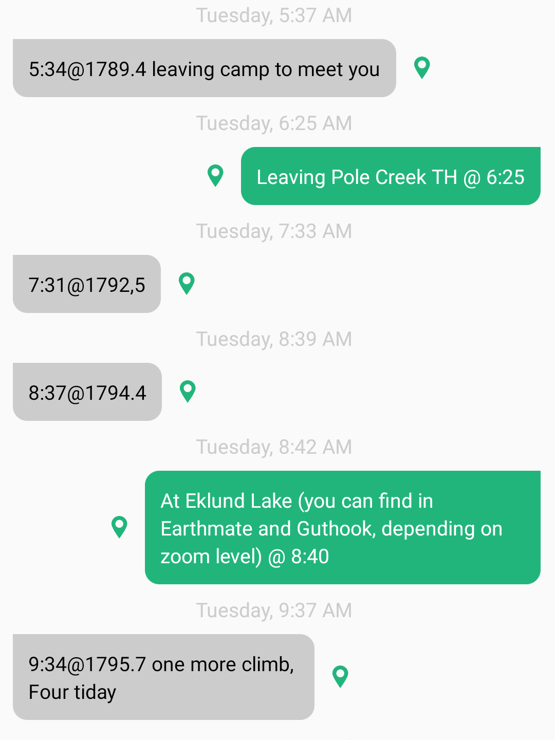
So it was no surprise that on the morning of our 4th meetup, our inReach message thread looked like this:

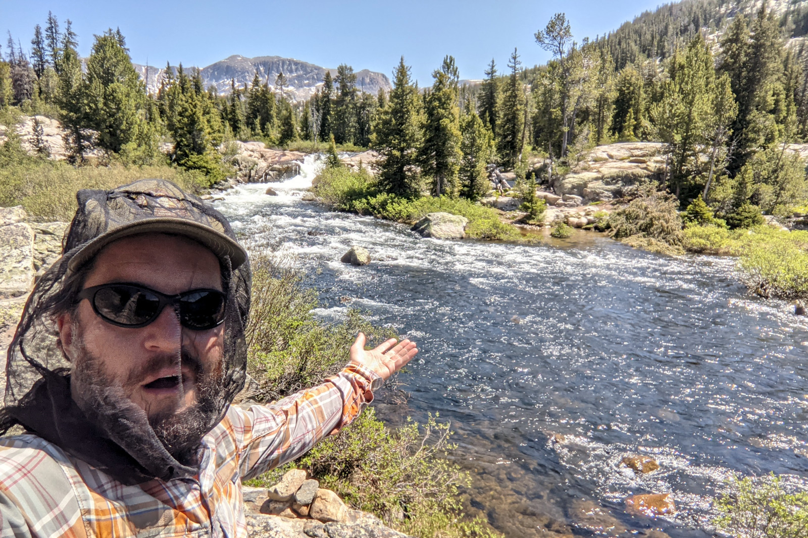
At 10:45, about 9.5 miles into my hike, I reached a point where I was supposed to cross Pole Creek just before it widened into a lake. What I’m sure would have been a simple crossing later in the summer, maybe ankle deep at best, was a raging river at least 60 feet wide, maybe calf deep on my side, but an indeterminate depth where the water was moving the swiftest near the far bank. I could see that the creek narrowed upstream, so I was sure I’d find a place where I could hop from one exposed rock to another. But after almost an hour exploring both north and south of the crossing, I discovered that the “creek” either narrowed into a swollen torrent or widened into a deep lake.

It was nearing noon when Dad reached our predetermined meetup location on the CDT, about a mile and a half away. I let him know about my predicament, and he offered to come to me. That seemed a lot simpler than continuing to bushwhack my way north looking for a safe/dry place to cross. I felt pretty confident that I could throw his food bag across the narrowest section of rapids. Even with our vastly improved communication thus far, it still took time for the idea to go from suggestion to confirmation to implementation. And unbeknownst to me, Dad had not downloaded the offline maps for his inReach Earthmate app, so once he stepped off the CDT, we ended up playing a pretty hilarious game of GPS Marco Polo, where Dad would periodically send me an inReach message asking “Am I getting closer to you?” and I would respond “Yes, yes, keep coming”.
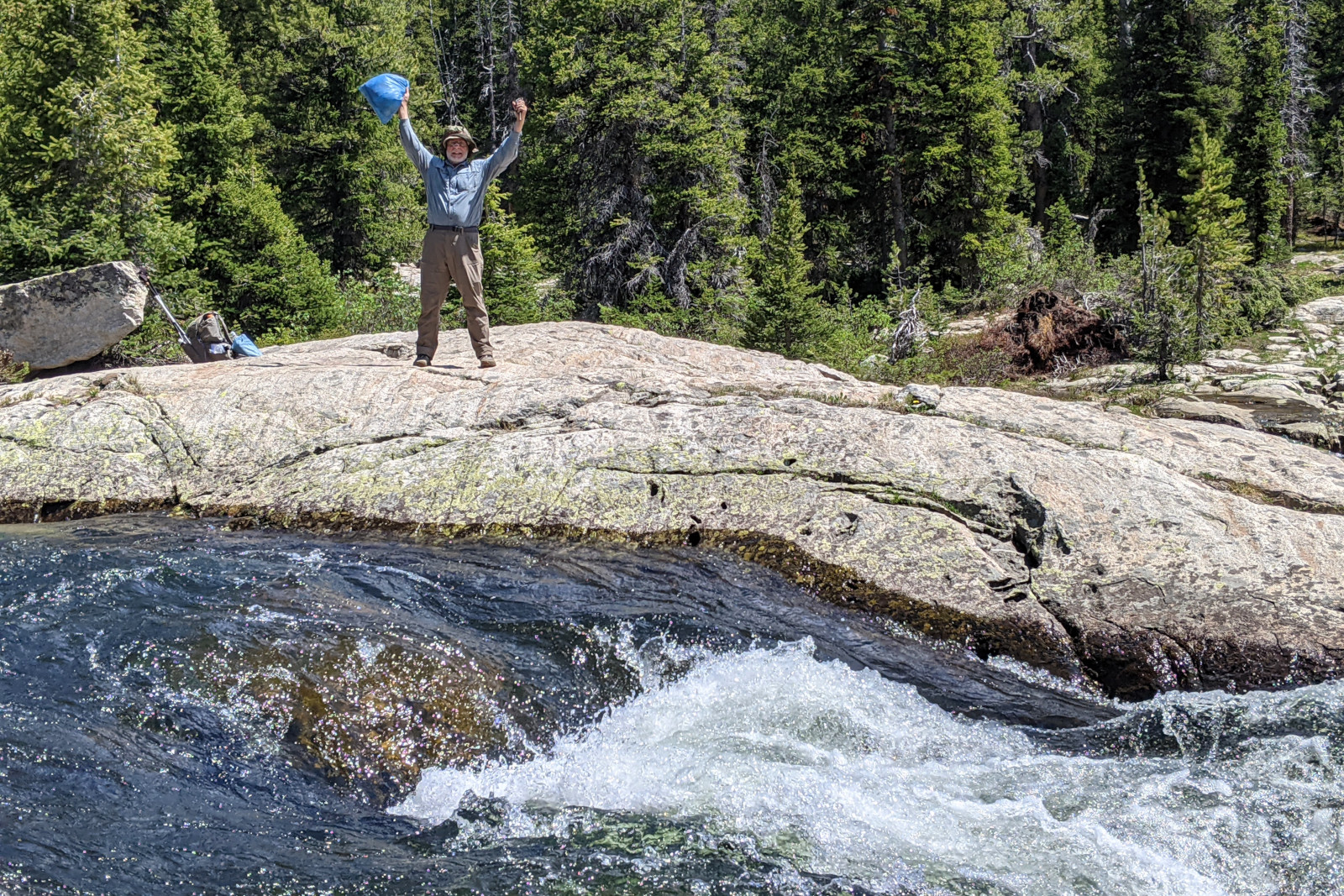
When he reached me around 2:20 in the afternoon and saw the rapids separating us, he uttered a few OMGs, to which I yelled back over the roar, half-genuinely, half-sarcastically, “Haaappy Biiirthday!!!” He smirked. I pantomimed throwing the bag of food to him, and he held his hands up as if to say “Whoa there!” and yelled back “If it ends up in the water, then I’m really screwed!” So he improvised a tether using his food bag hang cord, first securing it with a tent stake at his end, and then tossing the other end, attached to a rock, over to me. The food bag has a closure style similar to a “dry bag” where the top is rolled down several times, and then clasps in the corners are buckled, forming a sort of handle. It was around one side of this handle that I tied the cord—thinking to myself that this was way overkill, but given our meetup track record thus far, better to be safe than sorry.
I did a few practice swings to make sure there was enough slack in the tether (which Dad was holding, tug-of-war style, on the other side), and then with as much power as I could muster, I let’er rip. Just before I released the bag from my grip—at the peak of my swing—the clasps separated, blunting the full power of my throw. The arc of the bag over the 15-foot wide rapids was anemic. It landed on the steep granite bank less than 3 feet from the water’s edge, slid/rolled towards certain doom, and stopped just short of the drink. Dad gave me a wide-eyed “See!!!” expression, and collected his birthday airmail resupply.

Afterwards, I hiked the 9.5 miles back to my campsite near the Pole Creek Trailhead, and Dad returned to the CDT and continued a little further northbound. After 8 days, he had hiked 77.3 miles.
Yikes!!
This was so suspenseful and riveting!
Way to go both of you! That’s thinking with your noggins!