Tramping the Abel Tasman Coast Track
Day 1: Marahau to Anchorage Bay – Mon Nov 8
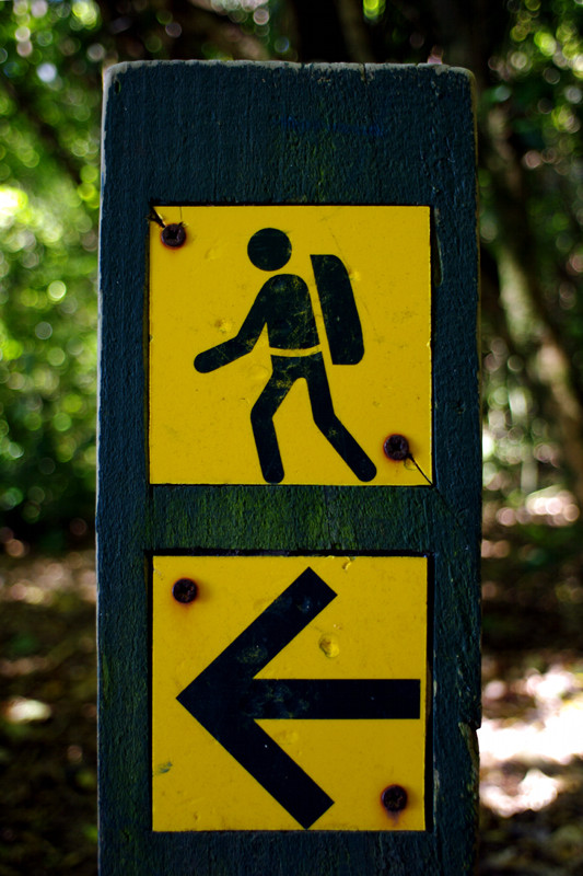
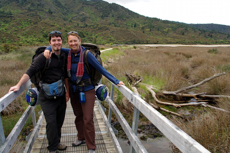
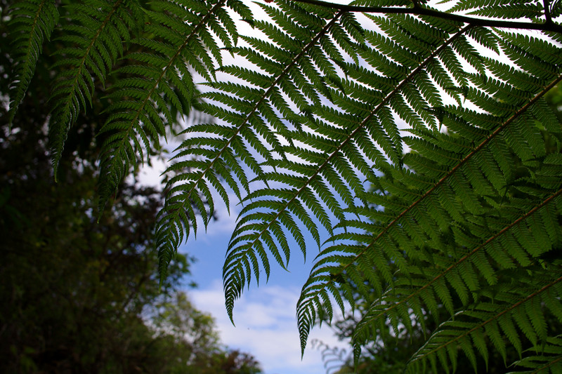
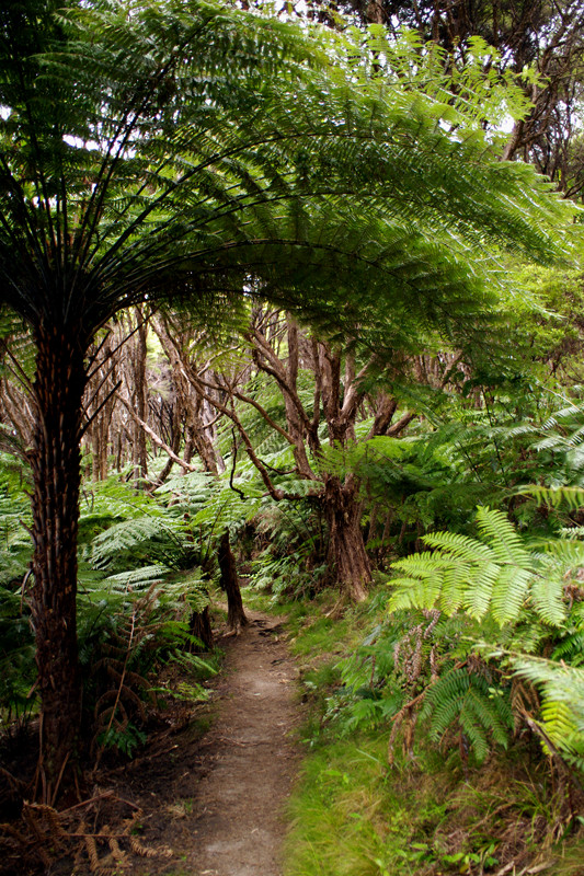
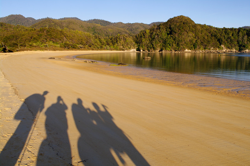
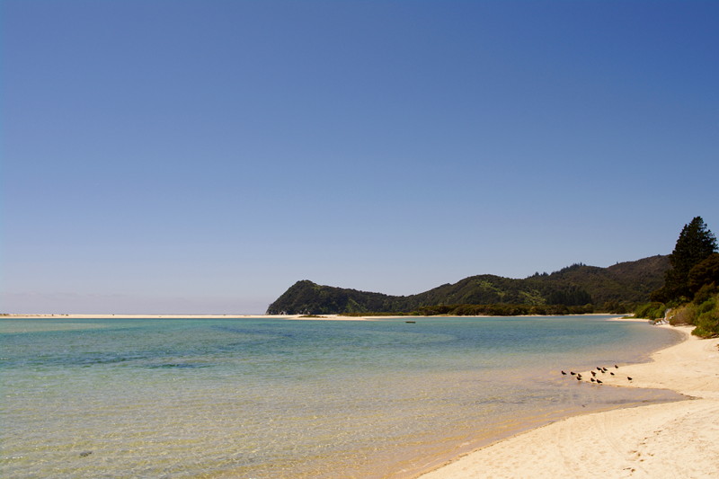
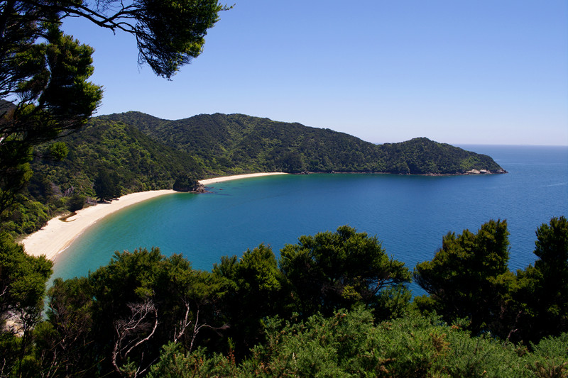
We started on the Abel Tasman Coast Track around 2:30. The skies were fairly overcast, so we hoofed it to Anchorage Bay, just under 4 hours away. The first bit starts off along a boardwalk, and after that it cuts into the dense coastal bush, which is like walking through a green tunnel made of ferns the size of palm trees.
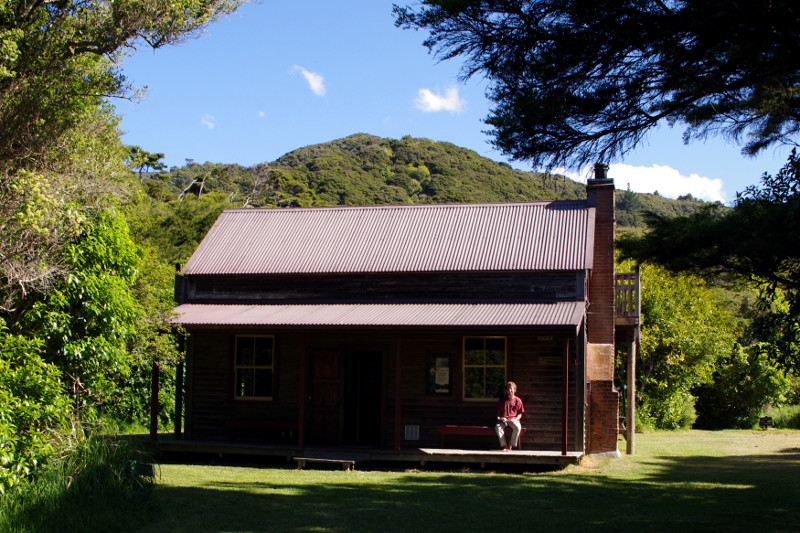
We got to the hut a little later than most people. The hut was a building made up of a central kitchen room with counters, sinks, and communal tables, which was flanked by rooms with bunks, each with space for about 6 people top and bottom. We found one of the rooms mostly full, but the other had unclaimed mats on the top bunk, so we rolled out our sleeping bags to mark our spots.
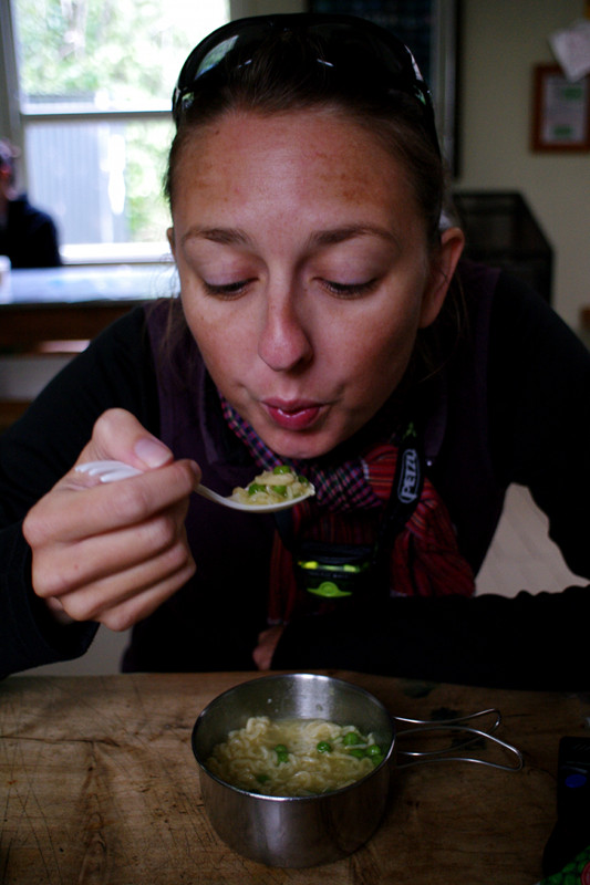
Dinner was ramen noodle soup. It was very filling, which was very satisfying. Later that night Stephanie struck up a conversation with a French-German couple sitting next to us who were spending their honeymoon in New Zealand for two weeks. They seemed impressed by our willingness to step away from our lives back home and travel for an indefinite period of time.
Day 2: Anchorage Bay – Tue Nov 9
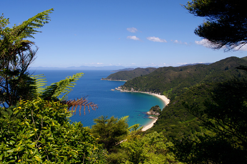
There are four huts along the track, but to cut costs (or time), many people find a way to skip one or two huts. Very few make it to the last hut, Whariwharangi, opting instead to take a water taxi back from Totoranui. And many others skip Bark Bay and walk longer the second day. We took the opposite tact and reserved two nights at Anchorage, as there are a number of day hikes in the vicinity, and I thought it’d be nice to have a day just to chill out. However, at $35.70 per person per night for the huts, the tramp is not exactly a cheap activity.
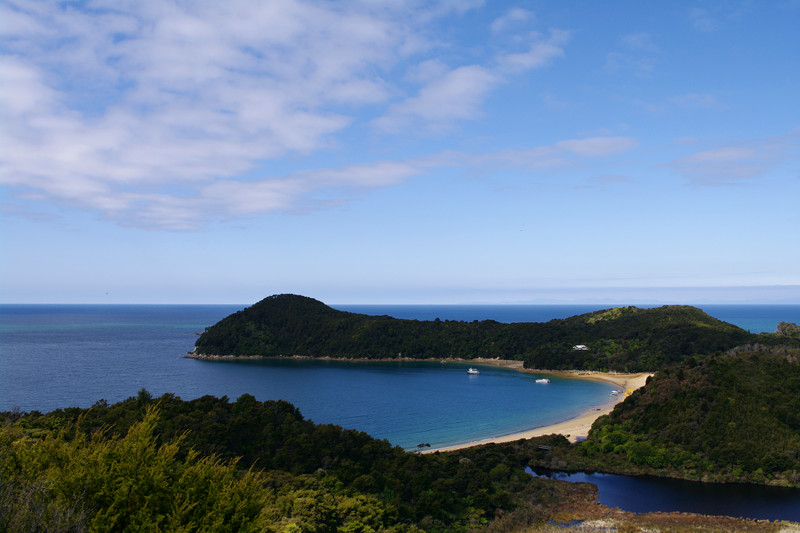
Steph was not too keen on the day hikes at first, but it was overcast again, and thus a little chilly, so a brisk walk without our packs was the only way to warm up. I walked the Pitt Head loop trail, and then after lunch (PB&Js) we walked up to Cleopatra’s Pools together.
That night we met a German woman and an Israeli man who’d met on the plane to Auckland and decided to hitchhike around New Zealand together. The woman’s story was remarkably similar to ours: she’d been working for Google in Dublin, and after 4 years there she decided to chuck it all and travel around the world for 6 months. She was already 2 months into her travels, and starting to worry that her remaining 4 months would be over in no time.
Day 3: Anchorage Bay to Bark Bay – Wed Nov 10
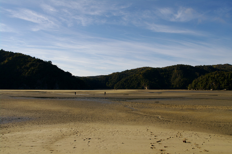
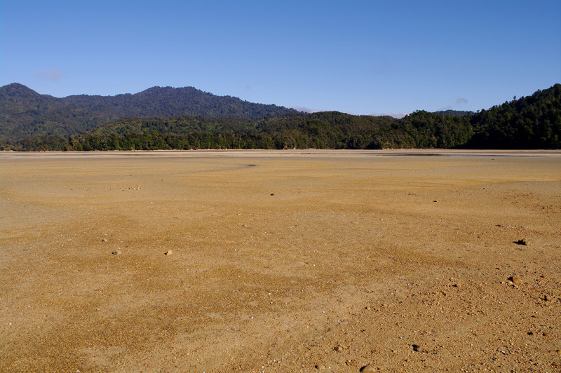
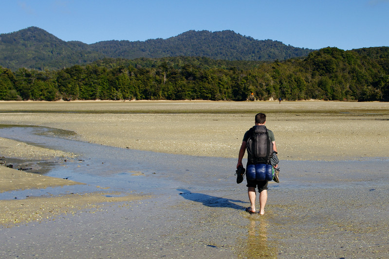
One of the neat things about the Abel Tasman Coast Track is that certain sections of it can only be crossed at low tide. A few of those spots have longer alternative routes, but in a few places there is no other option. And right after Anchorage Bay, on the way to Bark Bay, there’s a low tide crossing, and low tide for Wednesday was either at 6:30am or around 6pm. So we woke at the gawdawful hour of 6, but to our delight the skies were clear and the sun was shining.
I started the crossing in flip-flops, which was great except for that really sticky mud that grabs on does not let go. But they did come in handy crossing several ankle deep streams through the nearly drained tidal basin.
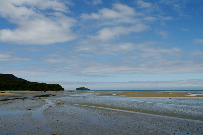
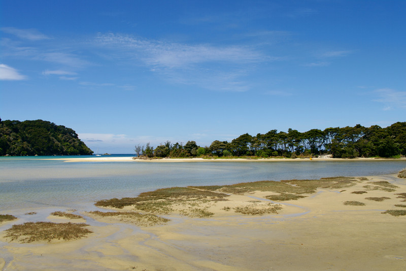
Given our early start, we got to our next hut at Bark Bay around 10:30 in the morning. The German and Israeli were heading all the way to Awaroa in a single day, so we bid them farewell. Even though it was early, we were happy to be done with walking. We took a dip in the frigid water (our bath) and then chilled out for the rest of the day, exploring the Bark Bay estuary during the evening low tide.
Day 4: Bark Bay to Awaroa – Thu Nov 11
We had another low-tide crossing to make on Thursday, but it was 2 hours up the track. Low tide was going to be at 7:36am, and we could cross within three hours on either side (of low tide), but it still meant we had to get an early start. The weather was beautiful though, and we had a treat ahead. There’s a lodge at Awaroa, just before the huts, and the promise of a reprieve from our PB&J lunchtime regimen was very motivating. We made it there just before noon, and treated ourselves to $25 hamburgers and $9 pints of beer.
Unfortunately we still had a little way to go before reaching the Awaroa hut for the night, including a minor tidal crossing that we didn’t exactly time at low tide (translation: knee-deep wading) and a circuitous path along the beach that was sandy in some places and submerged in others. The bonus was that it looked like paradise—and it would have been were it not for the sandflies and frigid water.
That night we conversed around the hut’s communal dining table with a Kiwi from Christchurch and her British nephew who we’d met the previous night, a Kiwi who was born in Australia which rendered his English-accent fairly Germanic, and two well-spoken fifteen year old German exchange students. Since everyone staying at the hut came to the same place to make dinner, and since there wasn’t much activity to do after dark but before bed, one of the things about the tramp I came to enjoy the most were the spontaneous conversations that would arise as people sitting in close proximity started talking.
Day 5: Awaroa to Whariwharangi – Fri Nov 12
Friday combined the longest tidal crossing—one without an alternative high tide route—and the longest day of hiking. Conveniently low tide was at 8am, and the Awaroa Inlet was directly in front of the hut. We had a two hour window in which to make the crossing, so we got going at 8:30. After five days of walking, Steph’s foot started cramping whenever she stopped moving, so we decided to power past the Totaranui Campground (where most people end the tramp) and go as far as we could before stopping for lunch.
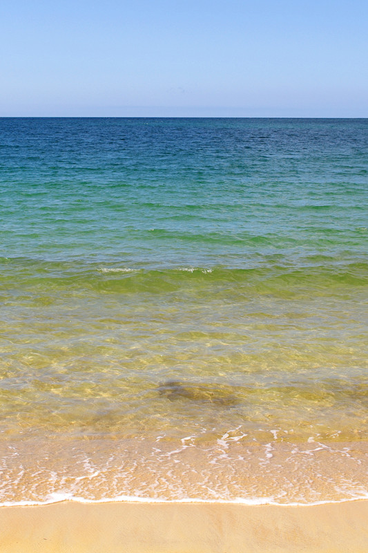
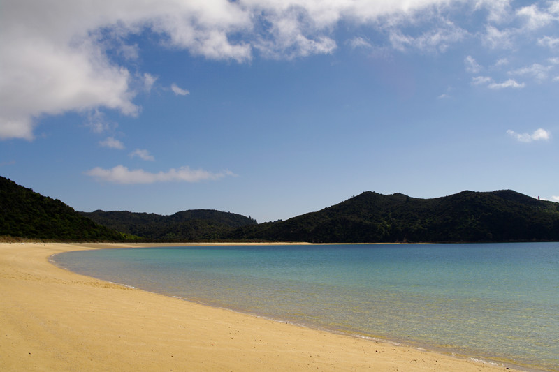
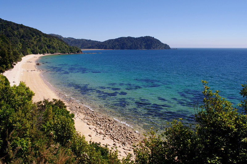
We ended up at a picture perfect beach to have our last PB&Js. The sun was as hot as we’d experienced thus far, but the water still very cold. Even so, I got in and waded around a bit. Stephanie bandaged up her big toe, where a blister had developed under another blister from the previous day.
We missed the turn-off to Separation Point (a seal colony), so when we got to where the detour remet the track, getting to Separation Point would have meant an hour and a half of additional walking (there and back). Steph decided to continue to the hut so she could stop walking for the day, while I hoofed it out to Separation Point. I saw a few seals and a bird colony through the binoculars, and then slowly made my way back.
I was exhausted when I got to Whariwharangi hut, which was an old converted homestead with bunks upstairs and down. There were only three of us staying there that night—the other guy we’d met the previous night. We decided to have our last ramen noodle soups for dinner because they were more filling than the dehydrated backpacker meals we’d brought. We went to bed early.
Day 6: Whariwharangi to Wainui Carpark – Sat Nov 13
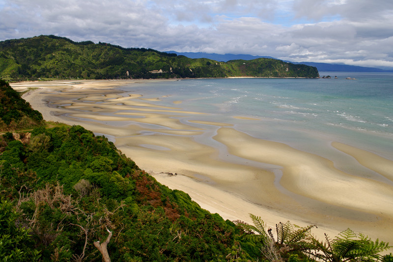
We had booked a coach to pick us up at the end of the track on Saturday, and it was due at the Wainui Carpark at 11:20. Thankfully we only had an hour and a half of walking to do to get there—and our packs were noticeably lighter without all the food we’d eaten over the previous 5 days. Unfortunately it was also the highest elevation gain: 600 feet up and down. Along the track we were treated to stunning views of Wainui Bay at low tide with brooding clouds over the Tasman Bay. The bus brought us to Motueka via Takaka, where we bunked at a holiday studio and enjoyed our first warm shower in a week.
great travel report !!
Gorgeous :) Tell Stephanie I can sympathize, we did the Kepler Track, and thanks to some ill-fitting boots my feet were a mass of blisters by the time we were done.