Driving down the Big Sur coast
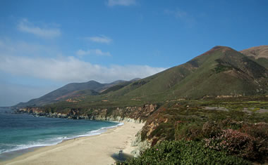
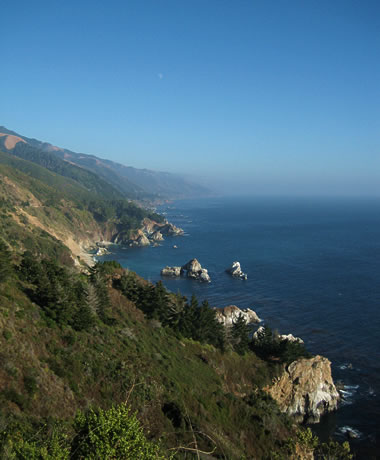
Leaving Pebble Beach, things finally started to get interesting. And by interesting I mean the view from CA-1 forced us to stop the car every 10 minutes to really appreciate what we were seeing.
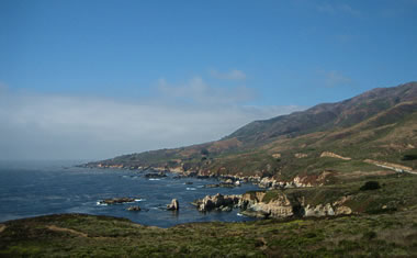
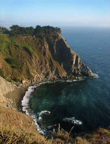
We passed Point Lobos State Reserve (having hiked it previously in January) and finally crossed into novel territory. So we stopped immediately at Garrapata State Beach. Looks almost like how I’d imagine Hawaii to be. It was a little windy though.
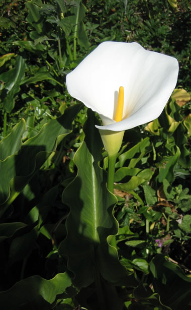
We hiked down to the beach, shared a peach. Found some calla lilies growing in the wild, which are one of my favorite flowers thanks to Georgia O’Keeffe.
On the way we crossed many historic bridges built back in the 1930s, some spanning streams and others wide ravines.
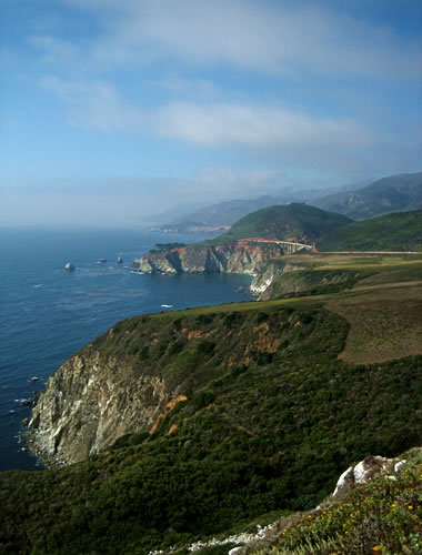
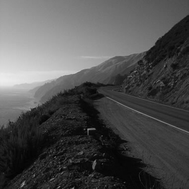
The last stop of the day before finding a hotel room in San Simeon was funny because Stephanie really needed to pee. Luckily this particular vista point had an enormous boulder between the road and the cliff. So she copped a squat behind the rock as I took this picture. Then she looked up and said this was probably the most beautiful place she’s ever gone to the bathroom. Now you can enjoy it too.
Gosh I love Big Sur. Growing up, my family would go on camping trips there every year.
Hi, we are planning a little adventure going up to coast & would like to know where exactly we should turn off to get to the calla lilies — they are my favorite flower. Do you think they will be blooming in mid April? Thank you for the beautiful pics!
Chris, the calla lily photo was taken near a stream running through Garrapata State Beach. I’m not sure what time of year they normally bloom, but this was taken in September.